


DELMARVA - Bermuda high-pressure system continues to dominate the Mid-Atlantic, keeping Sussex County hot and humid through Wednesday evening before a cold front begins to approach.
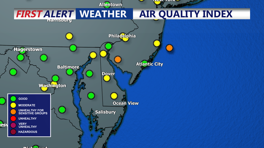
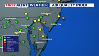
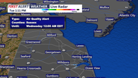
The Delaware Department of Natural Resources and Environmental Control has issued a code orange air quality alert for Tuesday. Code orange means ozone levels are expected to reach unhealthy ranges for sensitive groups, including children, older adults and people with heart or lung diseases such as asthma. Officials advise avoiding strenuous outdoor activity to reduce potential health impacts.
Temperatures Tuesday night will remain muggy, with lows in the mid-to-upper 70s under mostly clear skies. Wednesday will bring a repeat of Tuesday’s heat and humidity, with highs climbing into the mid- to upper-90s inland and upper 80s to low 90s along the coast. Isolated afternoon thunderstorms are possible, primarily in northern areas, but most of Sussex County will remain dry.
Relief is expected late Wednesday night as a cold front approaches, bringing scattered showers and thunderstorms into early Thursday. Canadian high pressure is forecast to move in by the weekend, providing cooler, drier air and comfortable conditions.