


DELMARVA - A low pressure system will pass to our north today into Wednesday, bringing a series of weak fronts through Delmarva until the end of the week. High pressure may return early next week, offering some relief.
In the near term, a shortwave embedded in the low-level flow is moving eastward across Pennsylvania this afternoon. This feature will influence Delmarva's weather this evening into tonight, while the main low pressure system remains to our north.
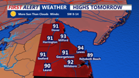
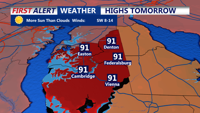
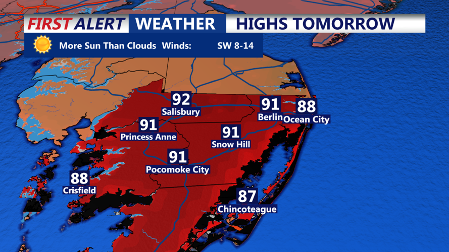
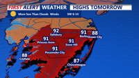
Latest computer models and observations indicate decreased chances of precipitation for much of this afternoon and early evening. There is a 40% or lower chance of isolated showers or storms through 5 PM, primarily near and northwest of the I-95 corridor. Otherwise, expect partly to mostly cloudy skies with highs ranging from the upper 70s to mid 80s, and breezy conditions. Winds could occasionally gust up to 25-30 mph, especially along the coast.
By late afternoon and evening, models suggest a broken line of showers and thunderstorms may move into the region after 6 PM. Due to the timing, after peak heating, the risk of severe storms is low. However, heavy rainfall could be a concern with atmospheric moisture levels showing precipitable water (PWAT) values around 2.0 inches and a warm cloud layer at approximately 13,000 feet. While the storm motion is not particularly slow, reducing the risk of training storms, there is still a Marginal Risk (Level 1/4) for excessive rainfall across the region.
Showers and thunderstorms will continue moving west to east through the evening and overnight, tapering off early Wednesday. Some patchy fog is possible overnight. Expect lows mostly in the upper 60s to mid 70s.
Stay tuned to your local weather updates for any changes or warnings.
