



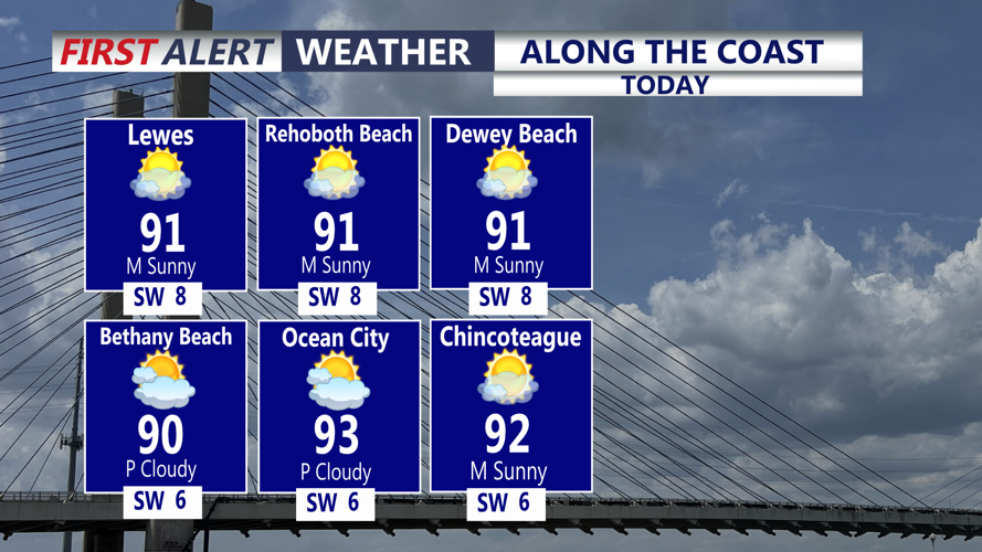
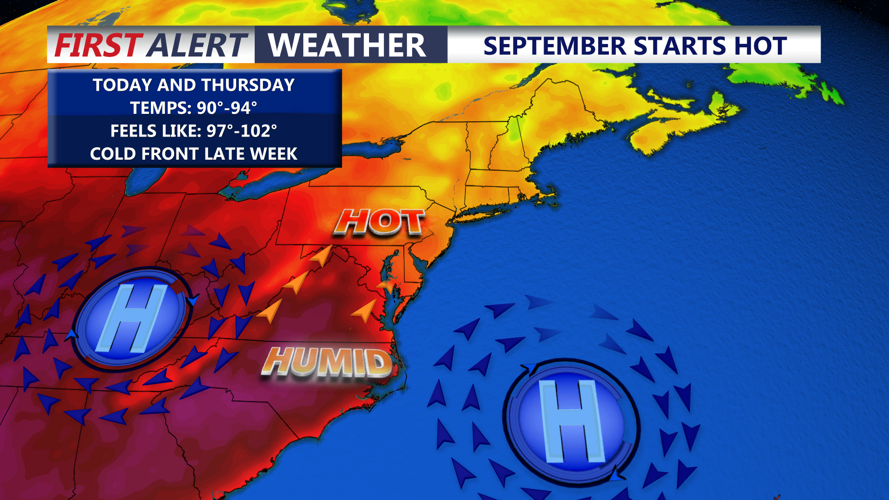

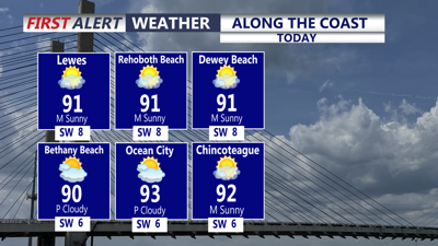
DELMARVA - The rest of our Tuesday afternoon will be hot and quite humid with mostly sunny skies. Temperatures will top out in the low 90s, slightly cooler at the coast. Feels like temperatures will approach 100 for some inland areas.

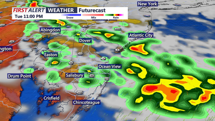
Evening showers and storms are likely as a cold front drops in from the northeast. Heavy rain could accompany some of the activity. Any showers or storms will diminish later this evening. The rest of the overnight, expect partly cloudy skies with some patchy fog possible. Lows in the low 70s by Wednesday morning. High temperatures Wednesday will be in the upper 70s and lower 80s.

Temperatures warm up again on Thursday with highs in the 90s. A cold front approaching on Thursday will keep the threat for showers and storms going. All modes of severe weather are possible, even an isolated tornado or two.
The streak of hot weather breaks on Friday with cooler temperatures in the mid to upper 80s. As of now, the Labor Day holiday weekend is looking dry and cooler with highs in the upper 70s and lower 80s.
