


DELMARVA - High pressure remains in control through this evening with temperatures in the 70s, then 60s this evening under partly cloudy skies. Overnight lows Saturday night will be in the low 50s to low 60s as clouds increase.
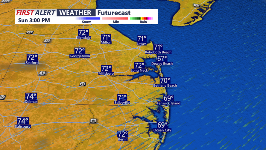
Sunday’s weather will be similar, with the high pressure system drifting slightly southeast. This will maintain onshore flow and the possibility of an isolated shower near the coast. Otherwise, look for partly to mostly cloudy skies and highs again in the low 70s.
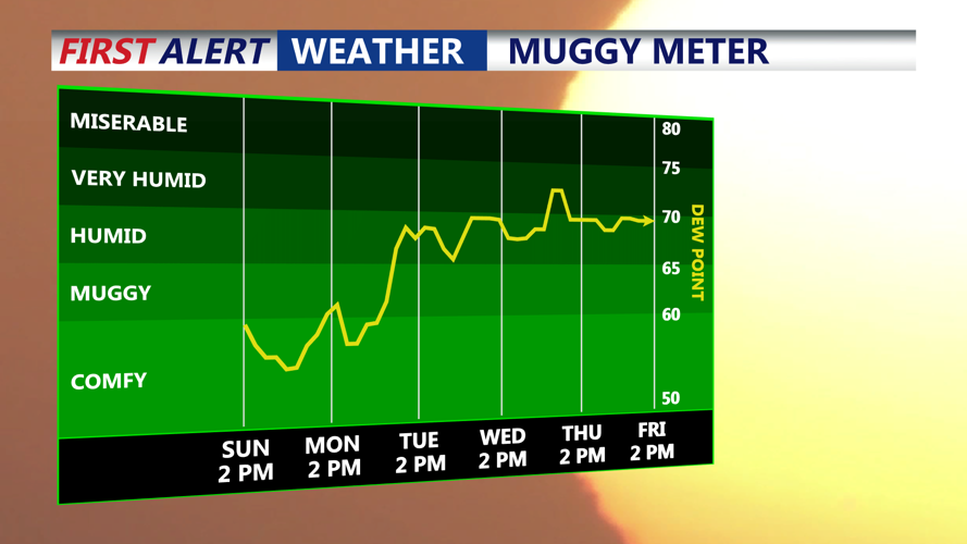
Early next week, the high pressure system will begin to shift eastward, ushering in a southerly wind that will increase moisture levels. Monday should remain mostly to partly sunny with highs in the 70s as Fall officially begins. Clouds will thicken Monday night into Tuesday as a warm front approaches from the west, bringing a chance of showers from west to east Tuesday with highs ranging from the mid-70s to mid-80s.
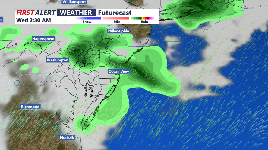
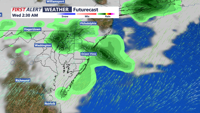
A cold front will slide southeast Wednesday, bringing a chance of isolated to scattered showers during the day. Highs will generally remain in the 70s. While some models suggest a low-pressure system could develop along the front, boosting rainfall coverage, forecast confidence remains low.
By Thursday, showers may linger but a new high pressure system building in from the north should promote drier conditions. Partly to mostly cloudy skies are expected with highs in the low to mid 70s.