




DELMARVA - This morning we're seeing mostly clear skies and temperatures in the mid to upper 50s. Watch for areas of fog early on, then we'll see it burn off pretty quickly this morning.
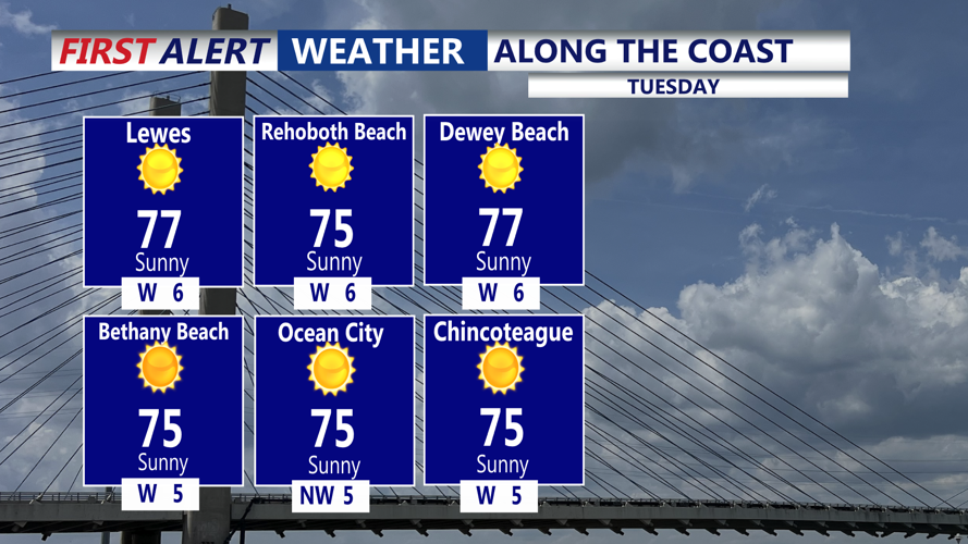
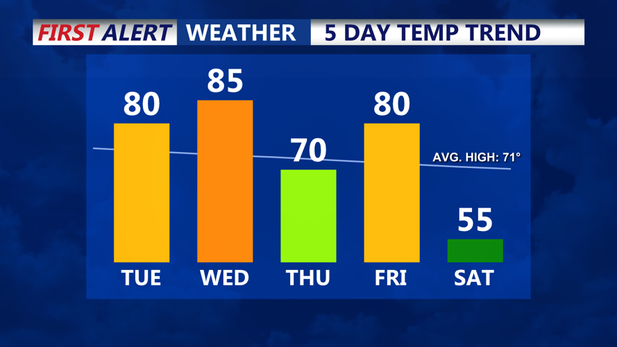
We are in for a temperature roller coaster for the week ahead. Today will be a beautiful day with wall-to-wall sunshine and highs in the 70s to near 80.

By Wednesday, we'll have a big taste of summer, with near record warmth expected. Humidity will be on the rise ahead of a cold front late Wednesday night. Highs on Wednesday in the mid to upper 80s. Record high in Georgetown is 82 degrees set back in 2014.

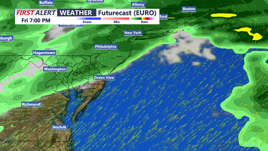
Can't rule out a late shower overnight Wednesday into early Thursday morning, not expecting a lot of rain with the front. By Thursday, temperatures are back in the low 70s. Pushing back to near 80 by Friday ahead of a stronger cold front that will bring a better chance of rain into Friday night.

By the weekend Canadian high pressure builds in and we turn much cooler with highs in the mid to upper 50s, and possibly the seasons first frost into Sunday morning. And after five straight weekends with rain, this weekend is looking mostly sunny both Saturday and Sunday. Some areas could dip into the mid 30s Sunday morning.
