



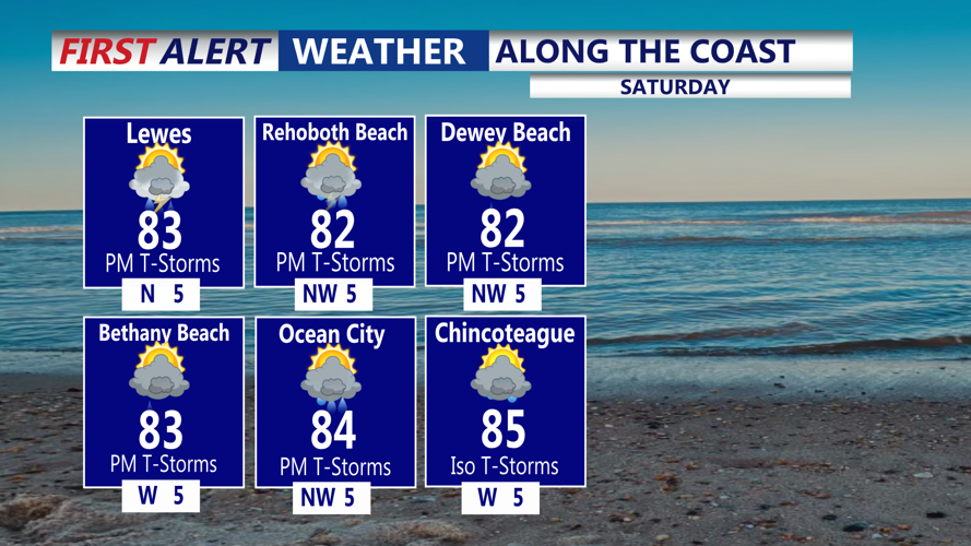
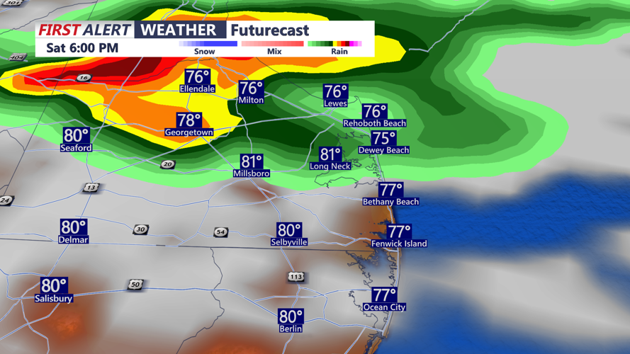
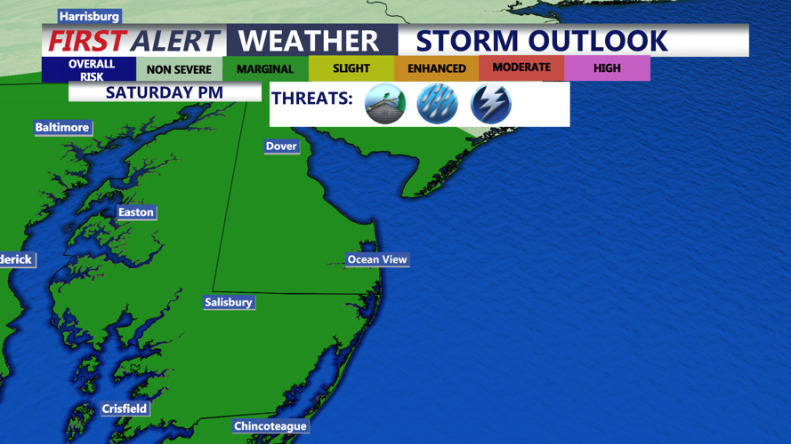

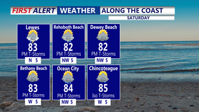
DELMARVA - We're starting our weekend on a mild and dry note with temperatures in the 60s and 70s. A cold front slowly drops through Delmarva today, bringing one final day of scattered showers and thunderstorms. The greatest coverage should be along and south of the front, especially across southern Delmarva and portions of the Mid-Shore.

The severe weather threat will remain limited, although the Mid-Shore could see an isolated stronger storm. A Marginal Risk, level 1 out of 4, for excessive rainfall remains in place. Localized flash flooding could develop where storms repeatedly affect the same locations, particularly in areas with saturated soil or poor drainage.

The cold front should finally move south of Delmarva by Saturday night, allowing drier weather to arrive Sunday.

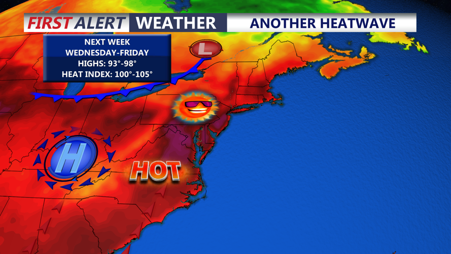
Sunday through Tuesday should feature mainly sunny skies and seasonable temperatures. Warmer weather will return during the middle of next week, with highs potentially climbing well into the 90s by Wednesday and Thursday. Another stretch of hot weather is possible, although it is not expected to be as intense as the extreme heat experienced at the beginning of July.
