


DELMARVA -- Preparing for a wintry blast of Arctic air as a high-pressure system moves into the region this weekend, bringing plummeting temperatures and dry conditions.

Core of the arctic air moves over Sunday.
Temperatures will drop significantly tonight as cloud cover decreases, with lows ranging from the teens to the low 20s. Winds will remain around 10 to 12 mph, creating a brisk evening across the peninsula.
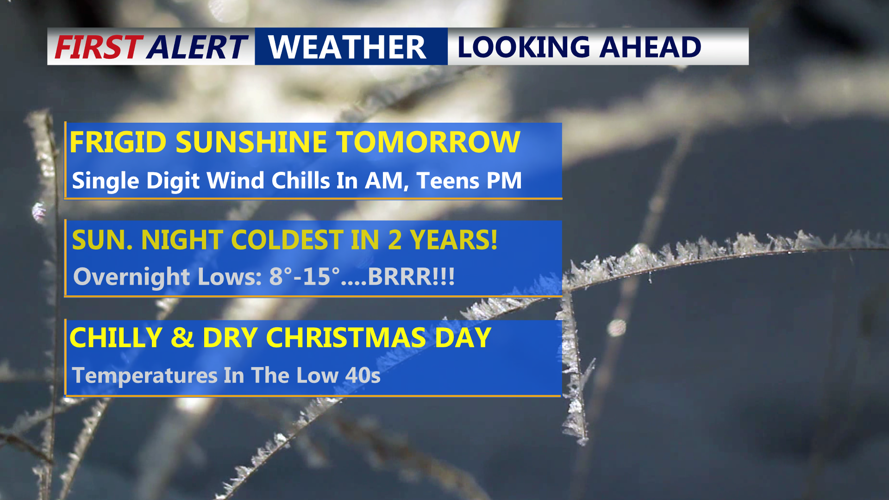
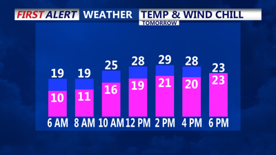
Sunday is expected to bring the coldest weather of the stretch, with highs struggling to rise above the upper 20s to near 30 degrees in southern Delmarva. Winds will remain steady at 10 mph, with occasional gusts near 20 mph. Wind chills go from the single digits in the morning to teens in the afternoon.

Sunday Morning Wind Chills
Sunday night is forecast to be the coldest in nearly two years, with lows dipping into the single digits in some areas away from the coast and generally ranging from 10 to 15 degrees. Clear skies and light winds will create ideal conditions for radiational cooling as the Arctic high-pressure system crests over the East Coast.
On Monday, the high-pressure system begins to move offshore, allowing a southerly flow to bring slightly warmer air into the region. However, temperatures will remain well below average, with highs in low-to-mid 30s.
A weak clipper system is expected to pass through the region late Monday night into early Christmas Eve. While it is not forecast to bring significant precipitation, light snow or rain showers are possible. By Christmas Eve morning, precipitation should taper off, leaving behind cloudy skies and highs in the 30s to low 40s.
As high pressure rebuilds over Delmarva on Christmas Day, temperatures will begin to warm closer to seasonal averages, with highs in the low to mid-40s. The dry weather is expected to persist into the latter half of the week, though a few weak mid-level disturbances could spark isolated light rain or snow showers on Thursday or Friday.
Looking ahead to next weekend, a stronger system may approach from the west. However, strong ridging over the East Coast could delay its arrival until late next weekend or the following week. With forecast highs near 50s by next Saturday, any precipitation is likely to fall as rain.
