





DELMARVA - A round of scattered showers and thunderstorms will remain possible across Sussex County late Friday evening into the overnight hours as a disturbance moves southeast toward the Mid-Atlantic.
Any thunderstorm could produce locally gusty winds and brief heavy rain. Storm coverage is expected to gradually decrease after midnight, with most activity ending by about 2 a.m. Areas that receive rain could see patches of fog develop toward daybreak Saturday.
Skies will become partly cloudy overnight as cooler and drier air begins moving into the region behind a frontal boundary.
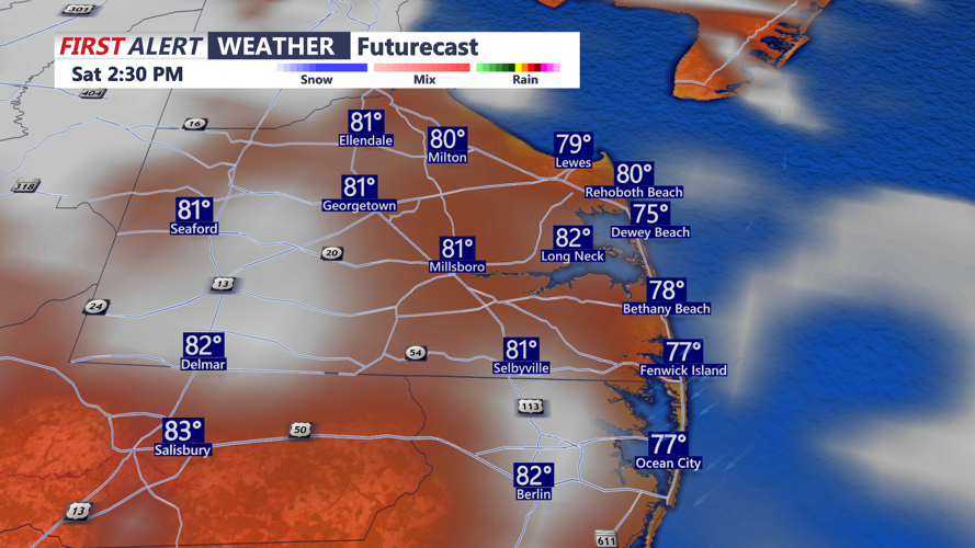
Saturday is expected to bring a noticeable improvement, with mainly dry conditions across Sussex County. A stray shower cannot be completely ruled out, but most communities should remain rain-free through Saturday evening.
Canadian high pressure will begin building across the Northeast and Mid-Atlantic, bringing lower humidity and seasonably comfortable temperatures. Winds will generally come from the north to northeast around 10 mph.
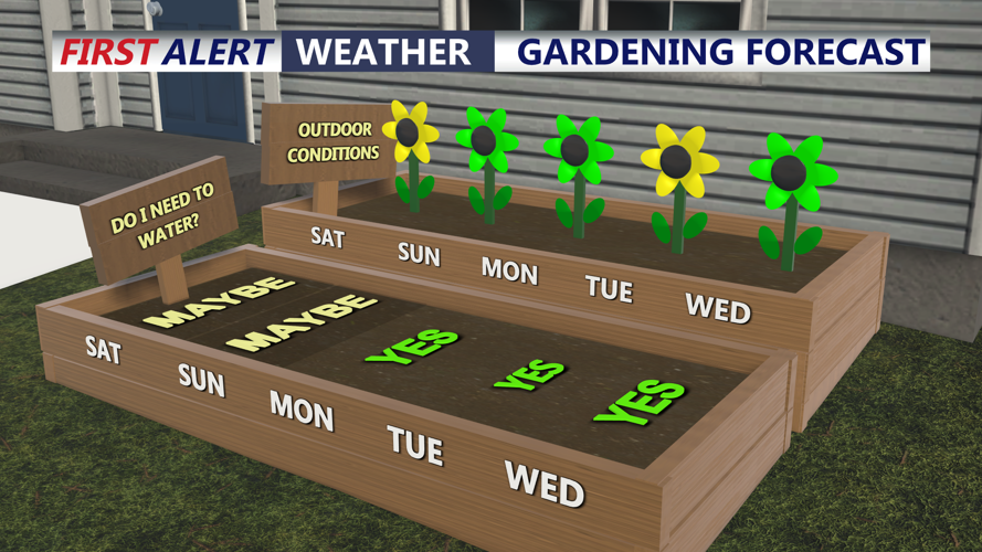
The pleasant pattern is expected to continue through much of Labor Day weekend, with temperatures near or slightly below normal and comfortable humidity levels.
Humidity and temperatures will gradually increase again early next week as high pressure moves offshore. The next meaningful chance for showers and thunderstorms is expected with a cold front approaching Wednesday night into Thursday.
