




DELMARVA - Today is expected to bring the most impactful weather of the week. Numerous showers and thunderstorms could develop throughout the day as low pressure and an approaching cold front draw warm and humid air northward across Delmarva.

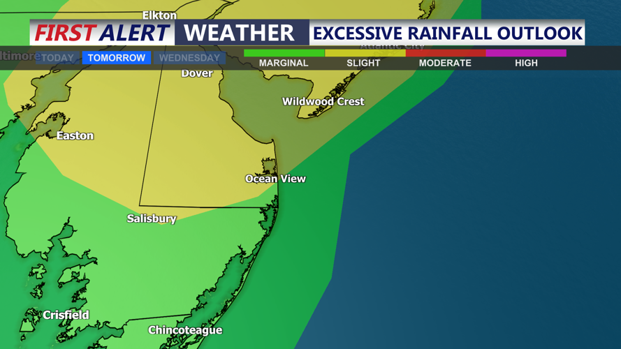
Humidity will rise sharply, with atmospheric moisture reaching levels capable of supporting torrential rainfall. Repeated storms over the same communities could produce localized flash flooding, especially in urban areas, locations with poor drainage and places that receive heavy rain Monday.

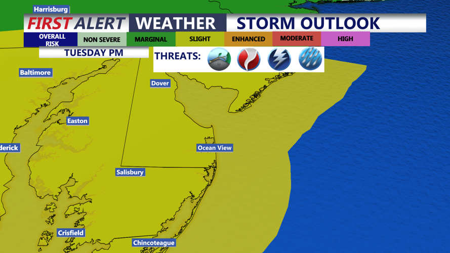
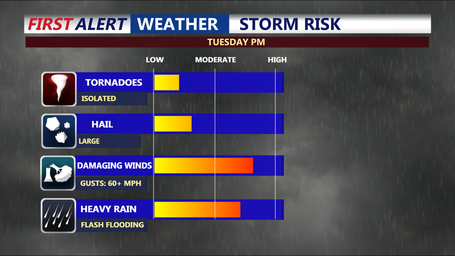
Delmarva is under a Slight Risk, level 2 out of 5, for severe thunderstorms Tuesday. Damaging wind gusts will be the main severe weather concern, but an isolated tornado can't be ruled out. although the overall threat will depend on the timing of earlier storms and the amount of instability that develops. If showers and storms don't develop in the morning, the risk for severe weather could be higher. Highs Tuesday in the low to mid 80s.

Heavy rainfall and flash flooding could become a greater concern than severe winds. Residents should remain alert for rapidly changing conditions and avoid driving through flooded roads.

Scattered showers will remain possible Wednesday as the storm system slowly moves offshore. The severe weather threat should decrease, but additional heavy rainfall could aggravate flooding in areas that receive repeated downpours earlier in the week.
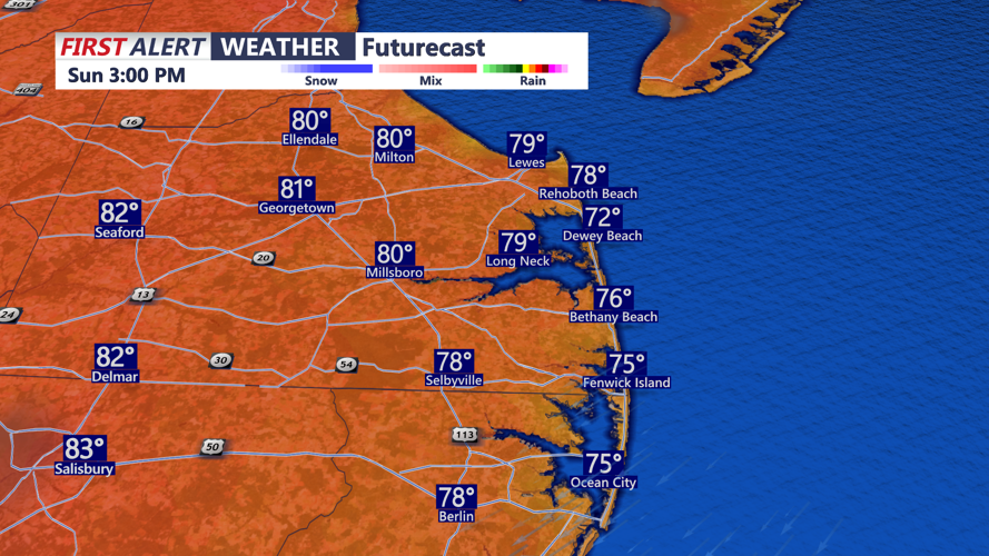
Isolated showers could linger into Thursday. Delmarva may briefly experience drier weather Friday and Saturday before another weather system approaches by Sunday with seasonable highs in the mid to upper 80s.
