



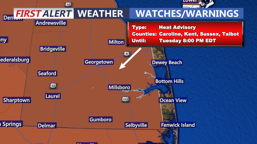
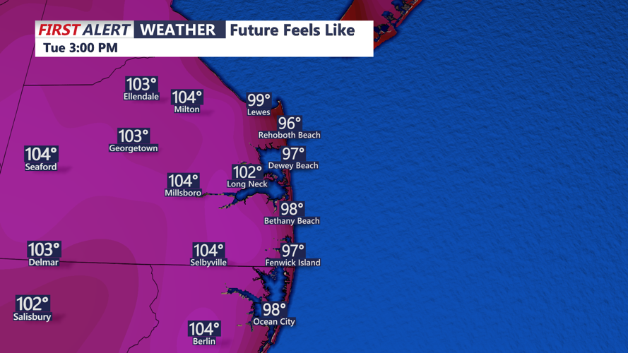

DELMARVA -- The summer sizzle is on this afternoon as temperatures soar into the mid 90s away from the coast, with heat index values as high as 106. Be careful in the heat and stay hydrated with water. A Heat Advisory is in effect into this evening.


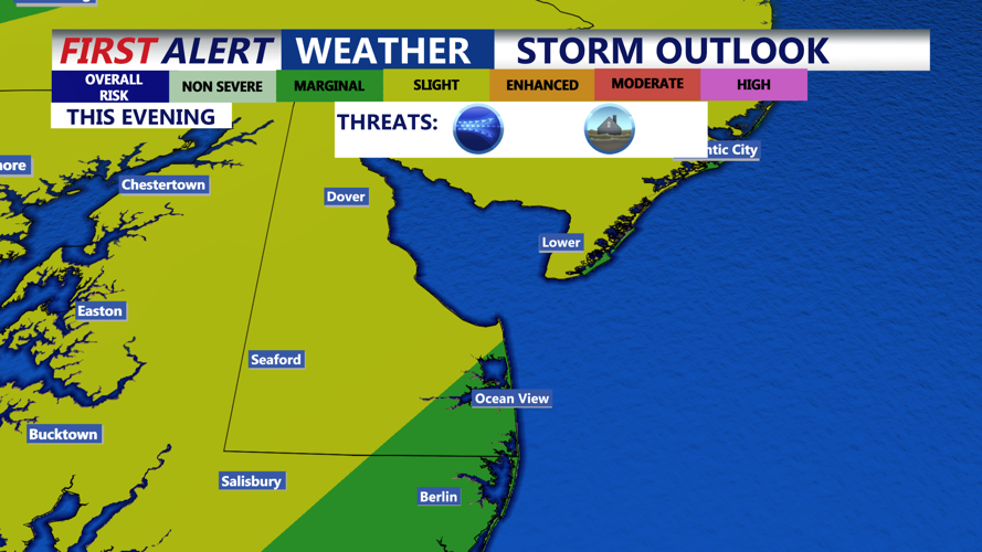
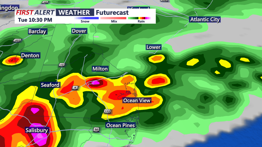
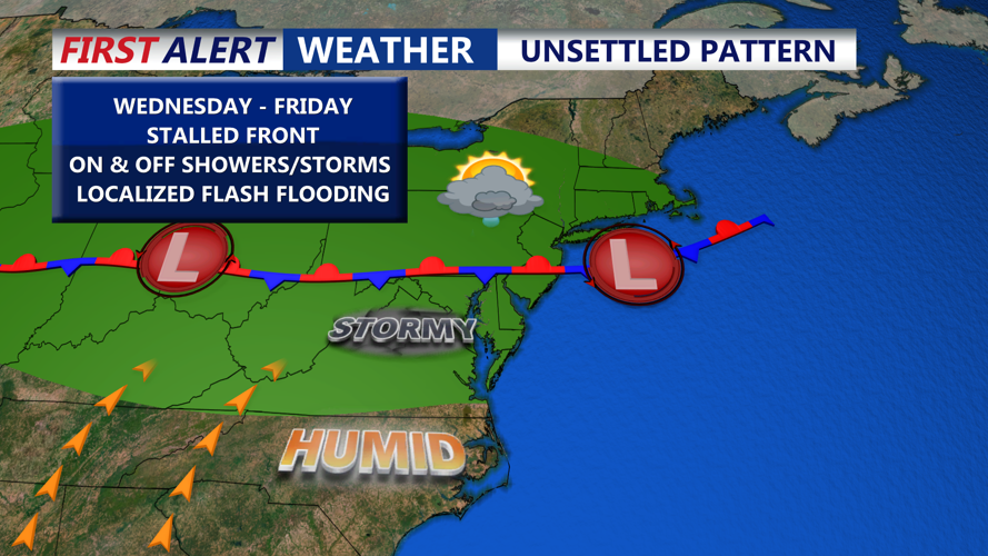
The pattern remains active later this afternoon and evening, as a cold front drops slowly south. This boundary will stall across southern portions of the region by Tuesday night, acting as a focus for renewed storm development. Watch for shower and storm development this evening with the main threats being torrential rain and the potential for flash flooding. Be aware of your surroundings, and never drive through deep water. Find another route.

Part of the region has been placed in a Slight Risk (Level 2 of 5) for severe thunderstorms, along with a Marginal Risk (Level 1 of 5) and a Marginal Risk (Level 1 of 4) for excessive rainfall. Forecast soundings highlight the potential for very efficient rainfall-producing storms, with precipitable water values exceeding 2 inches at times and a profile supportive of training cells that repeatedly impact the same areas.
By Tuesday night, storm coverage will diminish somewhat as daytime heating wanes, though a few isolated showers and rumbles of thunder may linger overnight. The stalled front will continue to hang over the region into midweek, maintaining a humid and unsettled pattern.

Rainfall from through Wednesday morning will be 1 to 2 inches with locally higher amounts of 3 to 4 inches where heavier/training storms occur.

On Wednesday, isolated to scattered thunderstorms are again expected, especially near the lingering boundary draped close to Delmarva. Additional weak disturbances are forecast to track through Thursday and Friday, fueling more rounds of showers and storms each afternoon. Another disturbance is likely Saturday, prolonging the unsettled weather.
High temperatures from Wednesday into the weekend will mostly hold in the 80s, but persistent high dew points in the 60s and 70s will maintain muggy, oppressive conditions.
