




DELMARVA -- Skies remain clear and starry Sunday night, with temperatures dropping into the mid-30s. A weak low-pressure system will track north of the region, setting the stage for a warming trend into the new week.
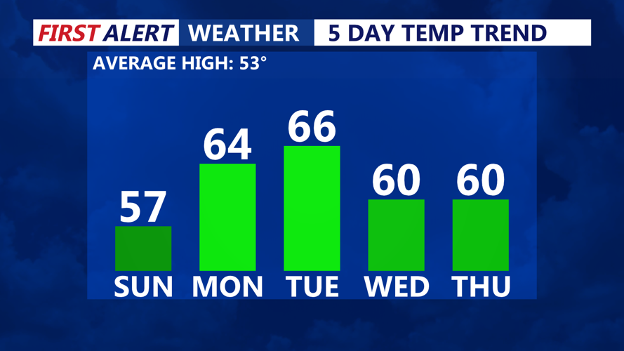
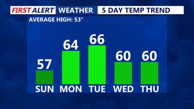
A taste of spring arrives as temperatures climb into the low to mid-60s under mostly sunny skies. A stronger low moves in Monday night into Tuesday, lifting a warm front north of the area. Overnight lows will be seasonably mild, ranging from the mid to upper 30s.

Surging into the 60s & 70s this upcoming week.
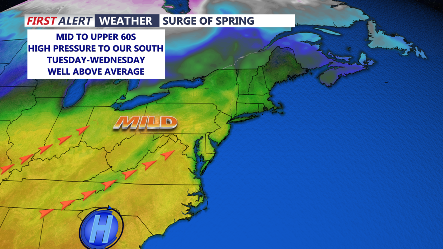
Southwest flow will bring even warmer conditions, with clear skies allowing temperatures to rise into the low to upper 60s. However, by Tuesday night into Wednesday, an area of high pressure will sink southward, sending a backdoor cold front through the region.
The midweek forecast remains uncertain due to the backdoor cold front, which could limit warming potential. Current projections lean toward highs in the mid to upper 60s, but some areas may only reach the 50s if cooler air prevails. Winds will shift east Wednesday night, bringing increasing cloud cover and overnight lows in the low 30s to around 40.
As high pressure shifts offshore, southeast winds will help lift the front northward, allowing temperatures to rebound into the mid-50s to low 60s. By Friday, southerly flow will keep the warming trend going, with highs reaching the upper 50s to mid-60s. On Saturday, warm air advection will intensify ahead of an approaching system, pushing afternoon highs into the mid-60s to low 70s.
