




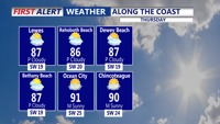
Summer heat and humidity returns today, with a chance of showers and storms tonight with a cold front.
From
To


A beautiful Thursday is ahead across Delmarva with hazy sunshine, highs in the upper 80s to low 90s and a refreshing sea breeze developing at the beaches. A cold front will continue pushing south through Friday, opening the door to cooler and less humid weather for Saturday and the first half of Sunday. Showers and thunderstorms return to the forecast Sunday afternoon into Monday, while spotty minor tidal flooding is possible during Thursday evening’s high tide along portions of the Delaware coast and Delaware Bay.

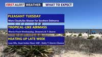
Delmarva will enjoy slightly lower humidity Tuesday before showers, thunderstorms and increasingly hot conditions return later this week.

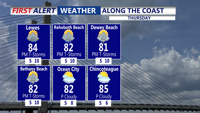
A Yellow Alert is in effect for Thursday for the potential of damaging winds and flooding rain.
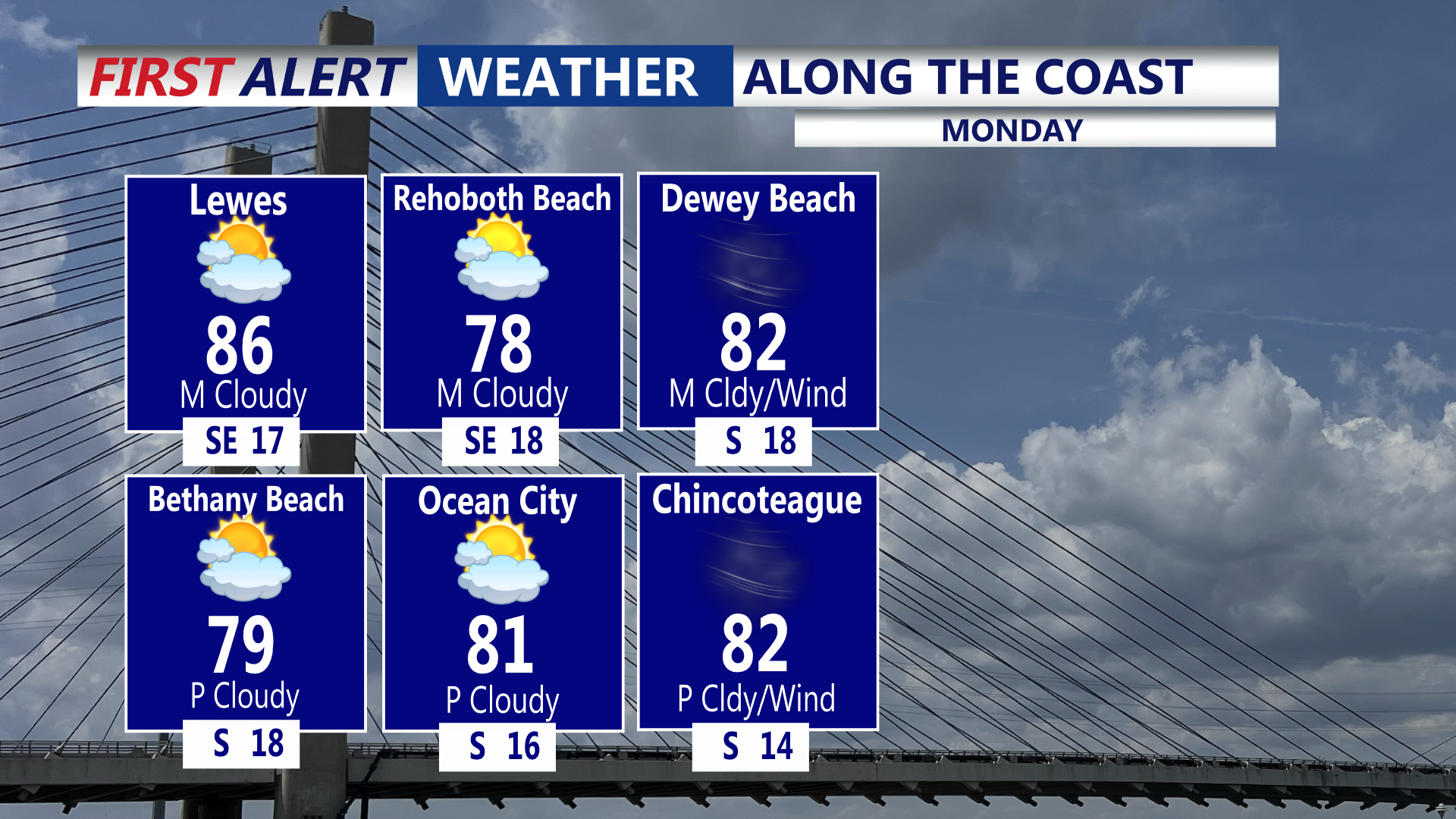
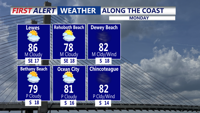
A hot, humid, and windy day with a chance of severe weather later today.

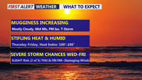
Delmarva will see a cloudy and humid day today as a warm front lifts north, bringing scattered showers and thunderstorms late this afternoon into tonight. A few storms could produce damaging wind gusts and heavy downpours. Dangerous heat and humidity build Thursday and Friday, with heat index values potentially reaching 95 to 104 degrees and additional severe storm chances.

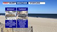
Delmarva will experience warm, humid conditions with a daily risk of showers and storms. Fog and mist are likely to start the day, especially along the coast. A cold front arriving late Monday will trigger scattered thunderstorms and downpours into the evening. This front is expected to stall through midweek, sustaining unsettled weather with periods of heavy rain, though the severe threat remains low. Can't rule out the possibility of flash flooding. By late week, heat and humidity will intensify, pushing heat index values toward 100 degrees before another cold front approaches.

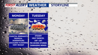
Starting Monday, Delmarva will enter a prolonged stretch of hot, humid, and stormy weather. The remnants of Tropical Storm Chantal will bring widespread showers and thunderstorms capable of downpours and localized flooding. Even the threat for severe storms Tuesday. As the week progresses, a stalled front and several disturbances will prolong unsettled conditions, with dangerous heat indices nearing 106 degrees and repeated rounds of storms expected into the weekend

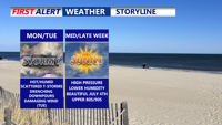
Sunday brought oppressive heat and humidity fueled strong thunderstorms across Sussex County. Flash flooding quickly inundated coastal communities, while a microburst near Laurel generated wind gusts nearing 60 mph. Additional rounds of storms are expected Monday and Tuesday, with a heightened risk of damaging winds and flooding.

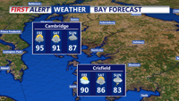
Delmarva will experience continued heat and humidity with isolated thunderstorms on Thursday, followed by heavy rain and thunderstorms as a strong upper-level trough moves into the area over the weekend.