





Saturday is expected to be the driest and most comfortable day of the weekend, before humidity and storm chances return Sunday.
From
To

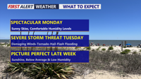
Delmarva will enjoy one more pleasant and mostly sunny day Monday before humidity, showers and strong thunderstorms return Tuesday.

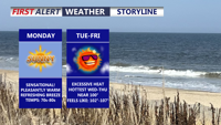
Sunshine, low humidity and comfortable temperatures will make Monday one of the nicest July days on Delmarva before heat and humidity build through midweek.

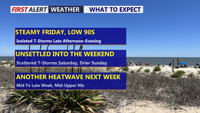
Heat and humidity return today as scattered storms bring a limited risk of damaging winds and localized flooding.

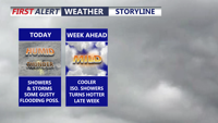
Delmarva gets a break from the record-breaking heat, but rounds of showers and storms could bring isolated severe weather and flash flooding today.

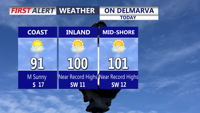
Delmarva faces near-record heat today through Saturday, with heat index values up to 114 and increasing thunderstorm chances for the holiday weekend.

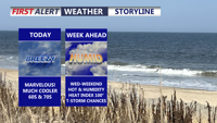
Delmarva starts the week cooler and much drier behind a backdoor cold front, with mainly dry weather expected through Tuesday. Temperatures will quickly rebound by midweek, followed by dangerous heat and humidity Thursday into Friday, along with daily thunderstorm chances from Wednesday through the weekend.

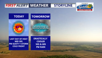
Delmarva will see one more hot and humid day today, with inland highs in the mid 90s and a third straight 90-degree day marking a heat wave. A strong cold front will bring showers and isolated severe thunderstorms late this afternoon and evening, followed by a much cooler, unsettled pattern through the end of the week and Memorial Day weekend.

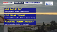
Delmarva will see a cloudy but mild day today, with highs ranging from the upper 50s and low 60s at the beaches to the mid and upper 60s inland, with a few spots on the Mid-Shore reaching near 70 degrees. A cold front arrives tonight, bringing scattered showers and an isolated thunderstorm before drier, breezy weather returns Thursday. The weekend remains uncertain, with a nearby storm system possibly bringing rain Saturday and chilly temperatures across the region.