



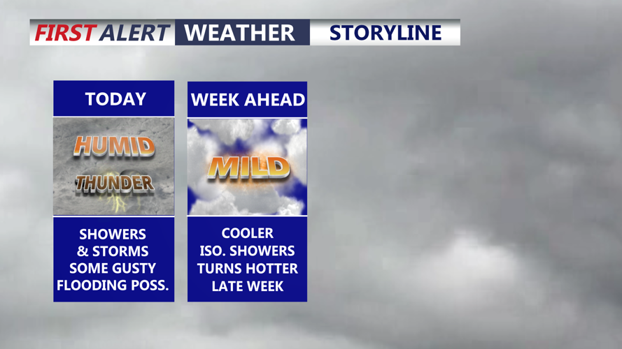


DELMARVA -- After days of extreme, record-breaking heat, Delmarva begins the week on a cooler but unsettled note as showers and thunderstorms return to the peninsula today.

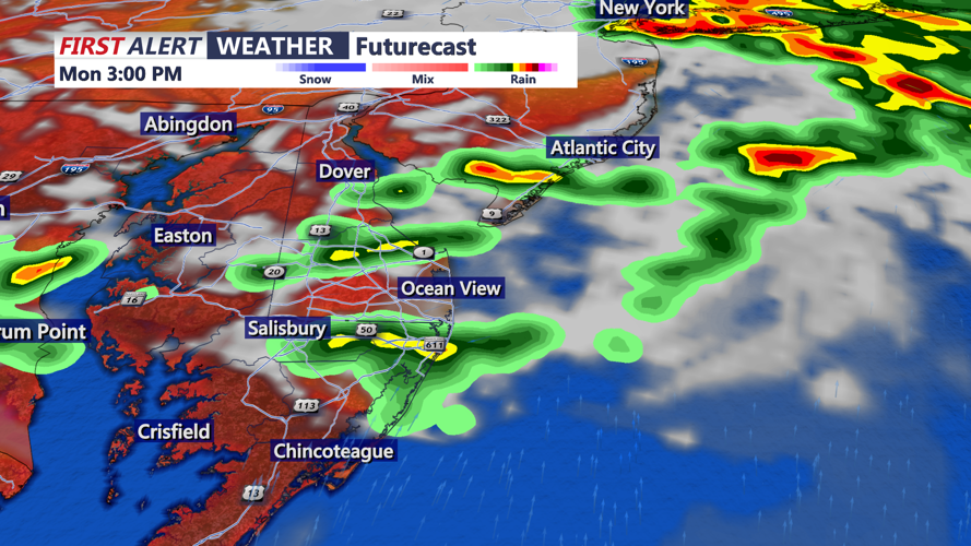
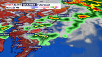
Expect scattered showers and storms to develop this afternoon, gusty winds and locally heavy rainfall is possible.
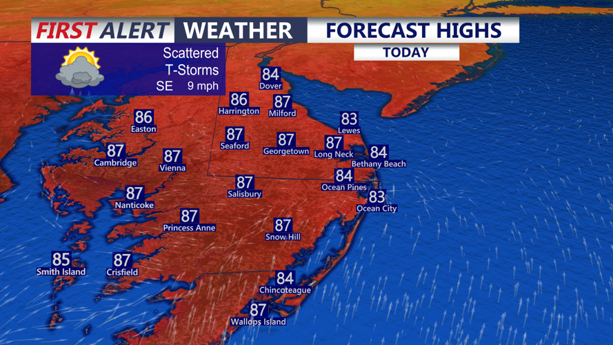
Highs will reach the upper 70s to low 80s at the beaches, with mid- to upper 80s inland and across the Mid-Shore. A broad area of low pressure lingering to the south over eastern Virginia, combined with high pressure near eastern New England, will keep an east to northeast flow in place. That setup will allow more showers and storms to develop this afternoon into the evening.

Scattered showers and thunderstorms will develop this afternoon, some locally heavy rainfall possible.
The main concern will be heavy rainfall. Much of Delmarva remains under a slight risk for excessive rainfall, meaning scattered flash flooding will be possible. Rainfall rates could exceed 2 inches per hour in the heaviest storms, especially in urban areas, low-lying spots and locations already hit hard by recent rain.
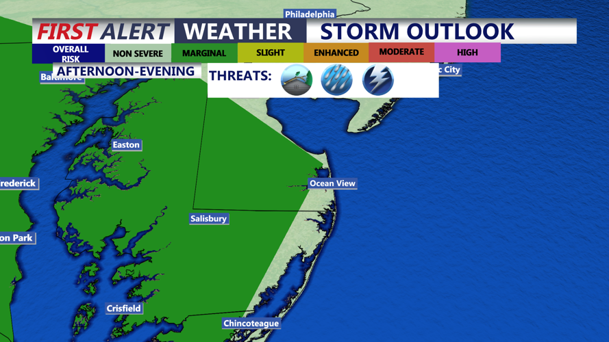
The severe storm threat is lower than the flooding threat, but it is not zero. Delmarva is under a marginal risk for severe weather, meaning any severe storms should be isolated. Damaging wind gusts would be the main threat.

Very isolated chance of a severe storms this afternoon into the early evening, MARGINAL (1 of 5), damaging winds is the primary threat.
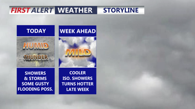
Showers and storms should gradually diminish tonight as temperatures fall into the low 70s. Some additional showers are likely Tuesday, but they are not expected to be as heavy, and the flooding threat should ease. Tuesday will be partly sunny with a northeast breeze and highs mainly in the low 80s.
Wednesday looks like the pick of the week as high pressure builds in. Expect partly to mostly sunny skies, slightly lower humidity and seasonable highs in the low 80s.
The quieter weather will not last long. Shower and storm chances return Thursday and Friday as a new frontal boundary approaches from the west. Rain chances increase late in the week, and temperatures may briefly climb back into the low 90s by Friday before unsettled weather could linger into the start of next weekend.
