



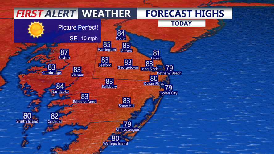

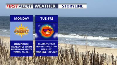
DELMARVA -- Will enjoy a picture-perfect summer day today, with sunny skies, low humidity and comfortable temperatures across the peninsula.

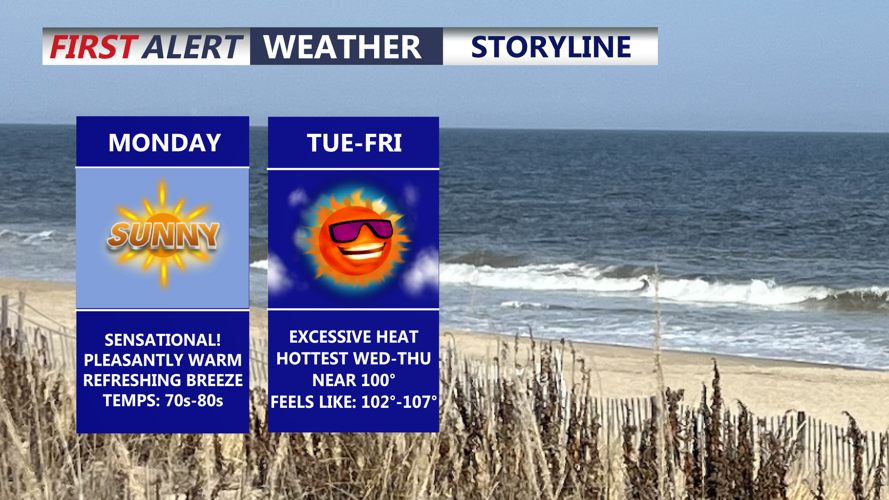
Sunny and comfortable, doesn't get much better for July on Delmarva.
Highs will reach the low to mid-80s inland and along the Mid-Shore, while communities near the beaches remain in the upper 70s. East-southeast winds of 5 to 10 mph will provide a light coastal breeze.
Clear and starry skies are expected Monday night. Temperatures will fall into the low 60s, creating another comfortable night across Delmarva.
A more typical summertime pattern will return Tuesday as winds shift to the southwest. Sunshine will remain plentiful, but temperatures will climb into the upper 80s and lower 90s as humidity slowly increases.

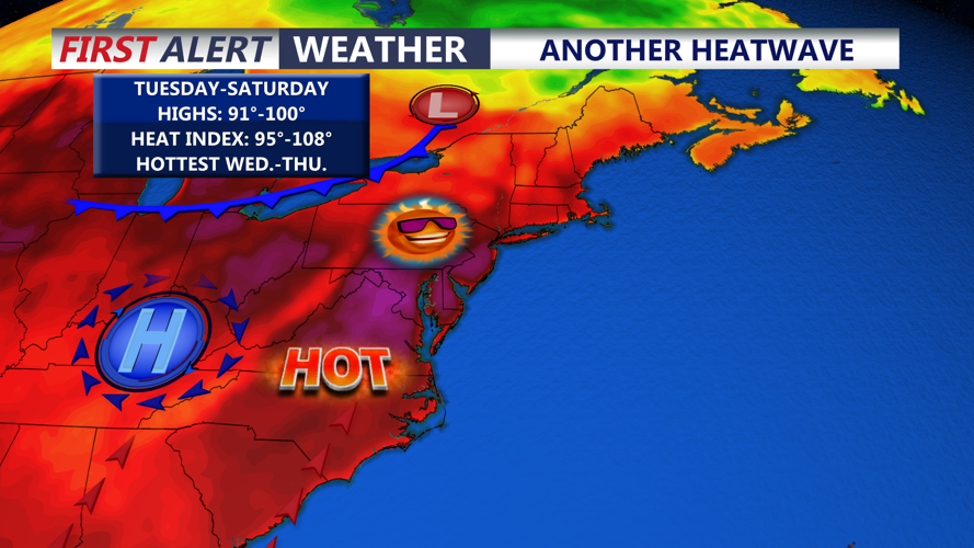
Ridge of high pressure strengthens bringing the return of heat and humidity mid to late week.
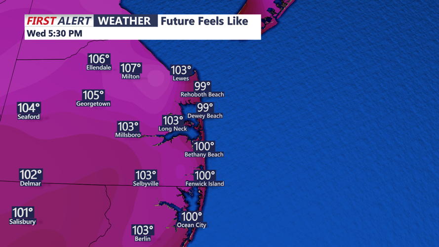
The heat is expected to peak Wednesday. Afternoon temperatures will rise well into the 90s, and a few inland locations could approach 100 degrees. While humidity should not be as oppressive as it was during the extreme heat at the beginning of July, heat index values could still reach 105 to 108 degrees.

Heat indices back to 101 to 108 Wednesday afternoon.
A mostly dry cold front may cross Delmarva late Wednesday, lowering temperatures slightly. Above-normal highs in the mid to upper 90s, however, could continue through the end of the week and possibly into the weekend.
The weather may become more active by Friday as a stronger cold front approaches from the northwest. Delmarva faces a chance of showers and thunderstorms, with conditions potentially supporting strong to severe storms and damaging wind gusts.
The exact timing remains uncertain, but additional rounds of thunderstorms could remain possible into the weekend as disturbances move through the region with the best chance Sunday as another cold front pushes through the region.
