




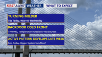
High pressure slipping offshore sets up a south to southwest breeze, kicking off a stretch of above-normal temperatures across Delmarva. A warm front Wednesday could bring a few late-day showers and push highs near 60°, followed by a possible backdoor cold front that may split the region Thursday into Friday. Another system brings a better chance of rain Friday into Saturday, and there’s early, uncertain potential for a more impactful storm later this weekend—possibly including snow—depending on track and available cold air.
From
To
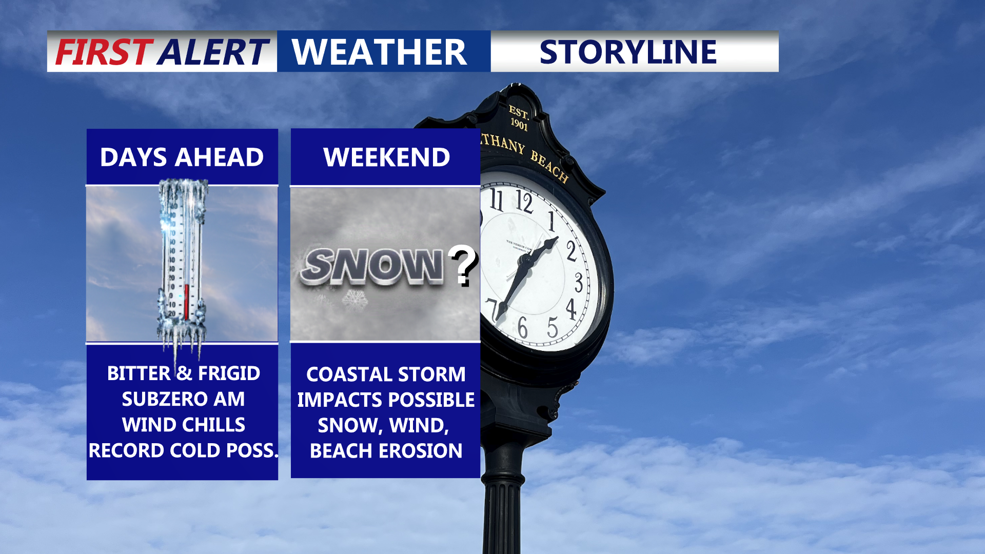
Delmarva is settling into a prolonged, dangerous stretch of cold through the end of the week, with daytime highs stuck in the 20s and overnight lows dropping into the single digits—creating wind chills below zero at times. Friday could challenge a record for the coldest high temperature. Attention then turns to a rapidly strengthening coastal storm this weekend that could bring snow, high winds, and coastal flooding, though the exact track (and impacts) remain uncertain.


A state of emergency will take effect early Sunday as Delaware prepares for a winter storm expected to bring heavy snow and hazardous conditions across the state.


A major storm expected to hit the region this weekend could significantly disrupt blood and platelet donations across Delmarva, according to the Blood Bank of Delmarva.

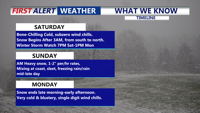
Mostly sunny skies today will give way to a burst of dangerous arctic cold Friday night, then a high-impact winter storm threat Saturday night through early Monday, followed by days of bitter cold.

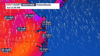
From early Sunday morning through Monday afternoon, a strong storm system will bring heavy rain, powerful winds, and a sharp drop in temperatures along the Delaware coast.


A powerful storm system will bring heavy rain, strong winds, and the potential for isolated severe weather to parts of Delmarva this weekend. Rain arrives Saturday afternoon, with temperatures rising overnight into the 60s by Sunday morning. A strong cold front will bring another round of heavy rain and possible thunderstorms Sunday afternoon, with wind gusts up to 60 mph. A sharp drop in temperatures follows, with wind chills in the teens Monday morning. Arctic air will settle in for much of next week ahead of a possible coastal storm Wednesday into Thursday, which could bring accumulating snow to the region.

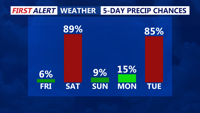
A developing low-pressure system will bring a mix of snow, rain, and freezing rain to the region from Saturday into early Sunday before conditions improve later in the day.