



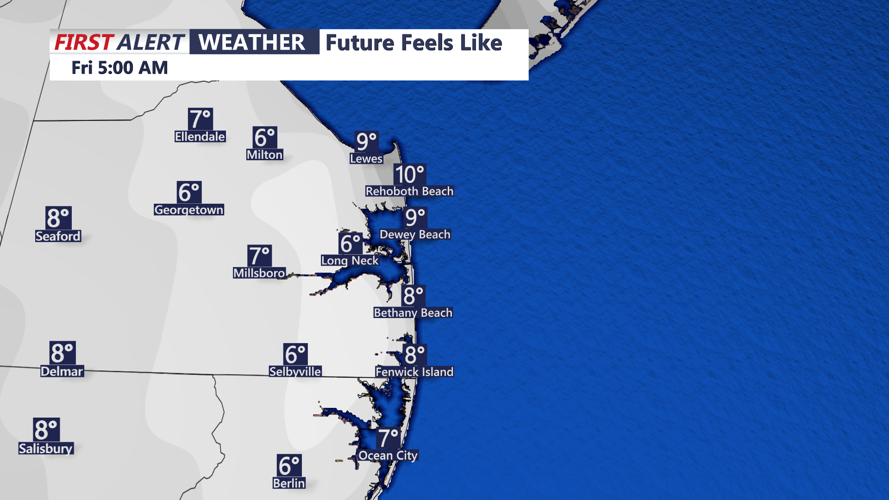

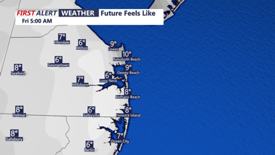
DELMARVA - The remainder of the week for Delmarva is looking very cold and breezy. Highs are expected to reach only the upper 20s to low 30s under mostly sunny skies today, then increasing clouds into Friday. However, northwest winds of 15-25 mph, with gusts up to 40 mph at times this afternoon, will create wind chill values in the teens. Make sure to layer up before venturing outside.
Blowing and drifting snow will remain a concern in open areas where snow from Monday’s storm lingers, potentially causing visibility issues and hazardous driving conditions. Slow down in open areas where snow will tend to drift more.
Daytime highs will stay in the 20s to around 30 degrees, with nighttime lows dropping into the teens.
The Arctic chill will start to ease heading into the weekend, with temperatures gradually moderating. Highs are expected to rise above freezing by Friday and may reach the mid-30s to near 40 over the weekend.


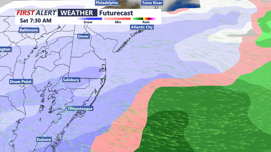
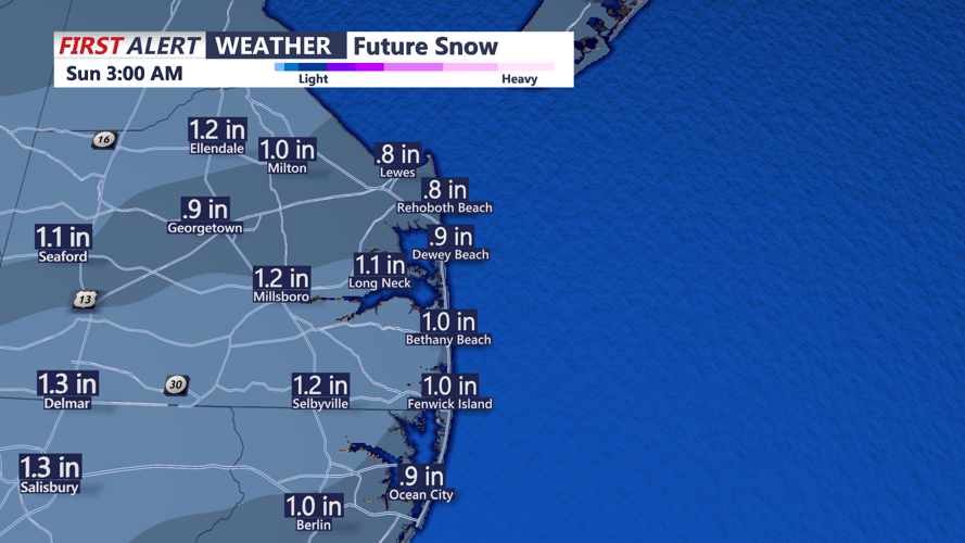
However, uncertainty remains regarding a potential winter storm system into Saturday. While some models predict minimal snowfall, others indicate the potential for several inches of accumulation. As of now, looks like a couple of inches accumulates. Stay tuned for updates as forecasters monitor this developing system.

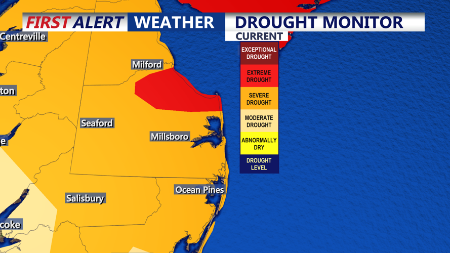
The latest drought monitor still has Delmarva in severe drought. However, the recent snow and snowmelt the next couple of weeks should help with the drought situation.
