




DELMARVA - As we head into late Monday night and Tuesday, Delmarva will experience a complex weather pattern driven by high pressure from the Canadian Maritimes and an approaching low-pressure system from the west. The high pressure currently situated over the Northeast and Mid-Atlantic will gradually lift to the north and east by midweek, allowing the incoming low-pressure system to drag a cold front towards the region. This system will bring a mix of cloudy skies, showers, and cooler temperatures before it clears the area later in the week.
Monday Night: For the rest of tonight, expect mostly cloudy conditions across Delmarva, with scattered showers gradually diminishing after sunset as daytime heating subsides. These showers have been most prevalent west of the I-95 corridor, with higher coverage in the Lehigh Valley and southern Poconos earlier today. As the evening progresses, showers will become more isolated, though cloud cover will remain. This extensive cloudiness will help to prevent significant fog formation overnight. Temperatures will stay on the cooler side, with lows dipping into the upper 50s to lower 60s across the region.
Tuesday: On Tuesday, as high pressure continues to lift away, the low-pressure system from the west will begin to exert its influence. Expect another day of mostly cloudy skies, with scattered showers possible throughout the morning and afternoon, especially in the western parts of Delmarva. Temperatures will remain below average, with highs only reaching the mid-60s to low 70s, depending on your location.
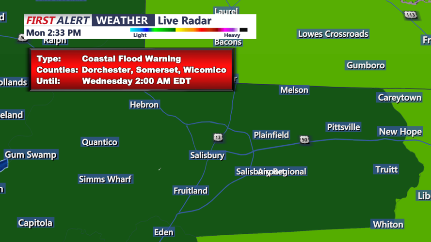
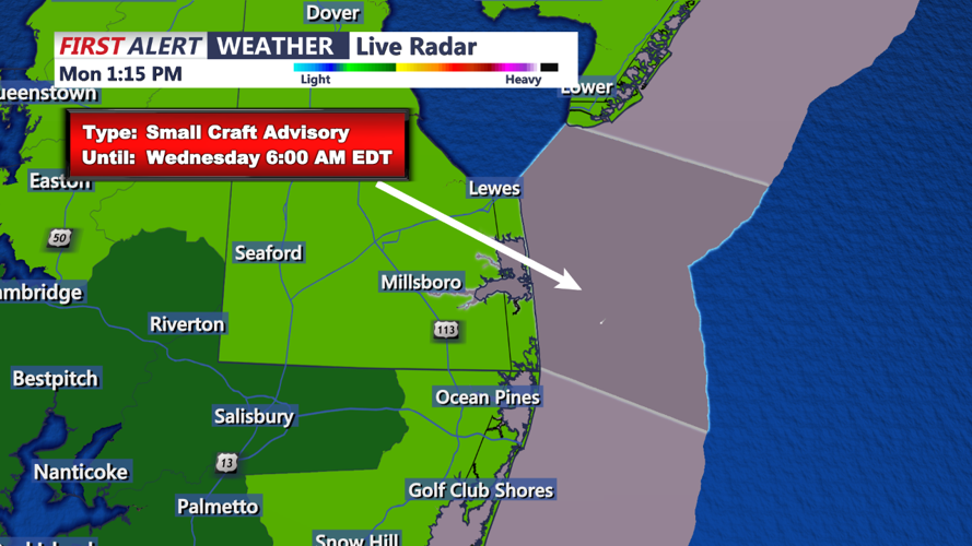
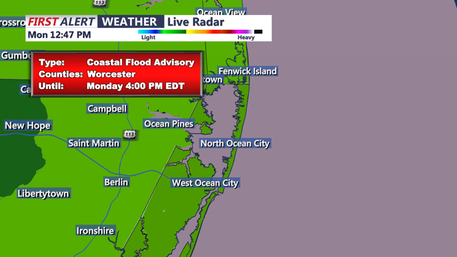
Coastal Flood Warnings and Advisories: In addition to the rain and cooler temperatures, coastal areas of Delmarva are under coastal flood warnings and advisories through Tuesday. The combination of persistent onshore flow and high astronomical tides will result in minor to moderate coastal flooding. Residents and visitors in flood-prone areas should take precautions and stay informed about the latest updates from local authorities.
As we move into midweek, the cold front associated with the low-pressure system will approach, bringing a better chance of widespread showers and possibly some thunderstorms by Wednesday. This system will clear out by the end of the week, making way for a return of high pressure and more settled weather just in time for the weekend.
Stay tuned to your local weather updates for the latest information, especially regarding any changes to the coastal flood advisories and warnings.
