


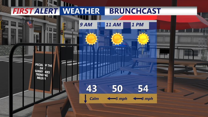


DELMARVA - Wednesday begins with dry and calm conditions along the Delaware and Maryland beaches, as high pressure continues to dominate. Morning temperatures will hover in the 40s along the coast before climbing to the mid-to-upper 50s in beach towns like Lewes, Rehoboth Beach, and Ocean City. Further inland, highs may approach the upper 60s.
Clouds will gradually increase throughout the day as a storm system approaches from the west. By Wednesday night, a southeast breeze off the ocean will bring more moisture, leading to areas of patchy fog and drizzle near the beaches. Temperatures will remain steady in the mid-40s overnight.
Thursday starts off mostly dry, though lingering fog and drizzle may persist through the morning. By the afternoon, rain will spread into the area ahead of an approaching cold front. Periods of moderate rain are expected into the evening, with totals ranging from a half-inch to an inch.
As the front moves offshore late Thursday night into early Friday morning, winds will pick up significantly. Gusts could reach 35-45 mph, with the strongest winds likely along the immediate coast. Behind the front, temperatures will drop sharply, with lows dipping into the low 30s by sunrise Friday.
A return to dry but breezy conditions is expected Friday, with cooler temperatures sticking around into the weekend.