


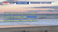


DELMARVA -- Another cold and breezy evening as high pressure continues to build in from the southeast, counteracting the influence of a departing low-pressure system over northeast Canada. Winds will remain steady at 5 to 10 mph overnight, keeping temperatures from falling too rapidly. Lows will dip into the low to mid 20s.

Winds calm, cold frosty night on Delmarva.
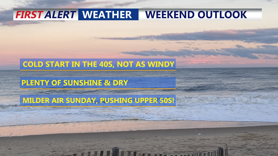
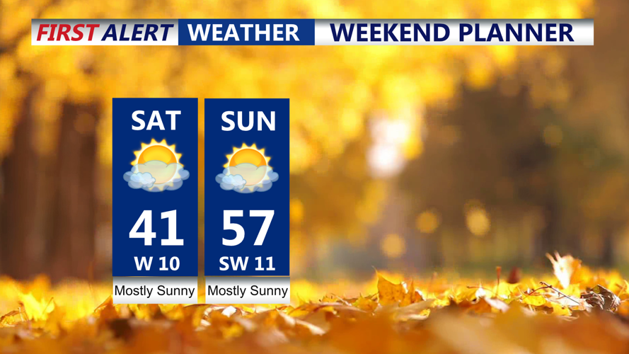
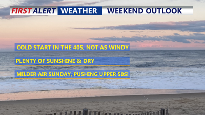
Saturday marks the beginning of a warming trend, albeit gradual, as a "warm advection" pattern develops later in the day. Highs will climb into the low-to-mid 40s, on the Delmarva Peninsula.

Temperatures rise into Sunday.
The warming continues Sunday as a warm front pushes northward across the region. Temperatures will rise noticeably, and clearing skies are expected by afternoon. A milder air mass behind the warm front will set the stage for highs in the upper 50s.
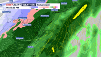
The weather pattern turns more active early next week with rain chances increasing Monday as a moisture-rich system approaches from the Midwest. While rainfall amounts are expected to be light, the precipitation will be welcome amid ongoing drought conditions. A front may stall over the region Wednesday producing a round of soaking rain, some of which could be heavy, it turns dry and chilly late week.

Heavy soaking rain possible Wednesday.