


DELMARVA- More in the way of sunshine the rest of the week with temperatures cooler than normal.
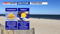
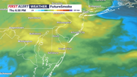
The rest of Thursday we'll see intervals of clouds and sun with temperatures running a bit below average with highs in the 70s to near 80. Cooler 70s at the coast. A hazy sky will continue from wildfire smoke from Canada. Breezy easterly winds will gust to near 30 mph at the beaches, with gusts to 20 mph at inland locations.

Overnight expect mostly clear skies with temperatures dipping into the 60s. Low to mid 60s for inland areas.
Another area of high pressure builds over northern New England and southeast Canada, maintaining a general onshore flow. This will bring near normal temperatures and slightly higher moisture levels by Friday. Skies will be mostly cloudy for much of the day. High temperatures will be in the 70s to near 80, with 70s at the coast.

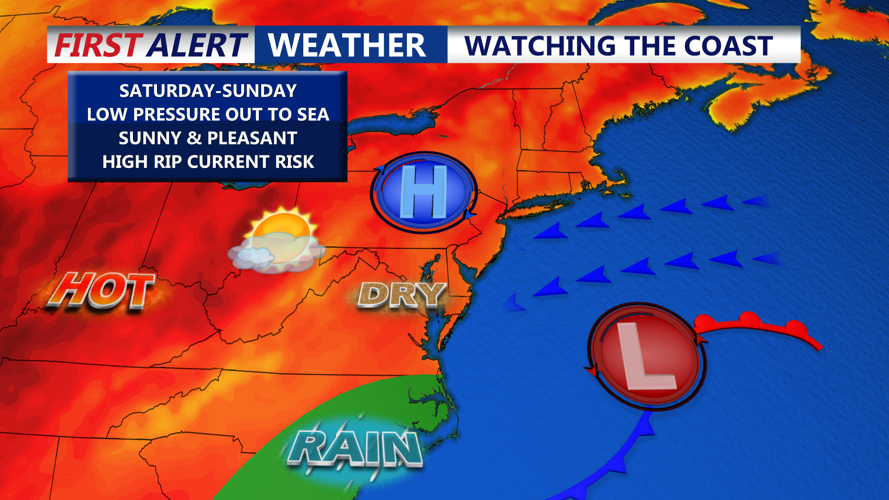
A developing area of low pressure to our south will track to our south and east this weekend. It's too soon to tell if it will be a tropical system. If it does develop into a named storm, it's not expected to be a significant system. As of now, the weekend is looking dry, with a mix of sun and clouds, and breezy conditions. Temperatures will be in the upper 70s and low 80s. Lows in the 60s and 70s.
