



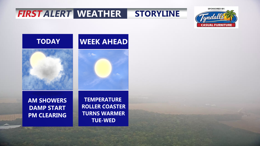

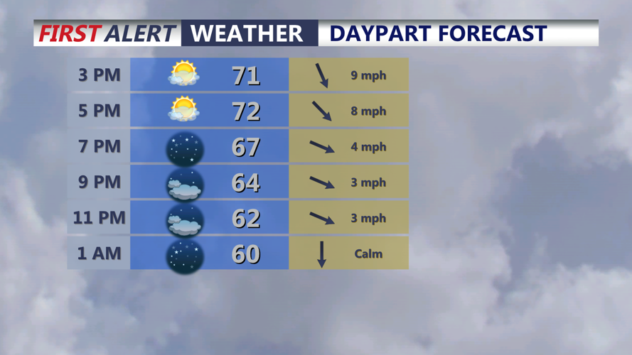

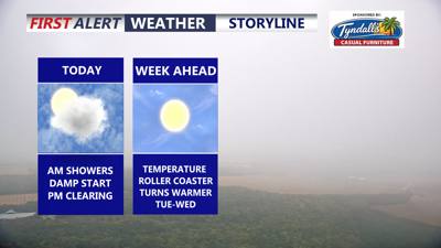
DELMARVA -- The remnant "ghost" low of Isaias has cleared the area and improving conditions are underway as we welcome mostly sunny skies and a slight breezy through the day, temperatures in the low to mid 70s. Winds out of the northwest gusting to 25 mph. Tonight mostly clear skies with lows in the mid to upper 50s.

Mostly sunny skies this afternoon, staying mainly clear overnight with highs in the low to mid 70s.
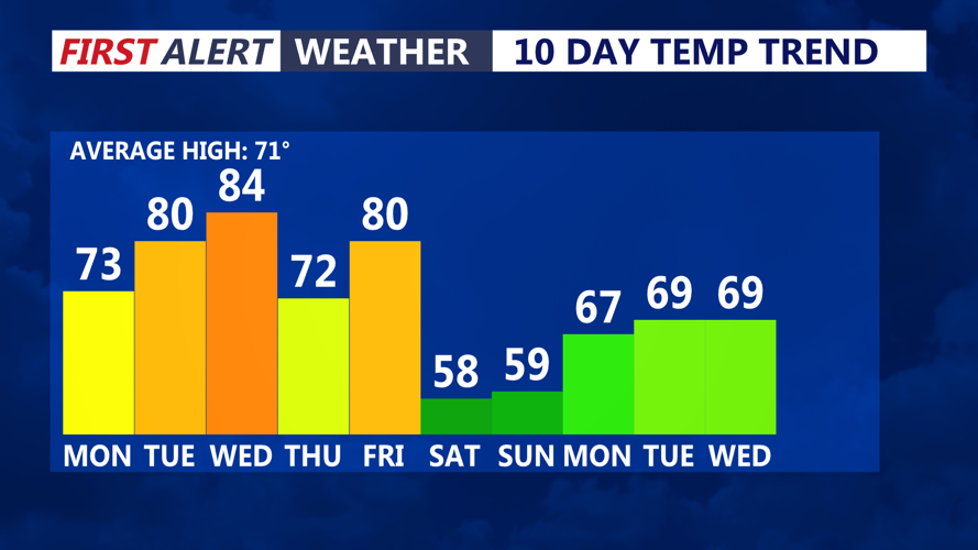
We are in for a temperature roller coaster through this week. Tuesday a sensational day with wall-to-wall sunshine and highs around 80.

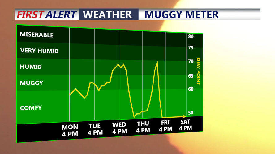
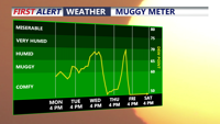
Humidity fall through the day, then rise through midweek ahead of a cold front.
By Wednesday a taste of summer and near record warmth. Humidity will be on the rise ahead of a cold front late Wednesday night. Highs on Wednesday in the mid to upper 80s. Record high in Georgetown is 82 degrees set back in 2014.

Big warmup through midweek, then some of the coolest air we have seen so far this fall coming up this weekend.
Can't rule out a late shower overnight Wednesday into early Thursday morning, not expecting a lot of rain with the front. By Thursday temperatures are back in the low 70s. Pushing back to near 80 by Friday ahead of a stronger cold front that will bring a better chance of rain into Friday night.
By the weekend Canadian high pressure builds in and we turn much cooler with highs in the mid to upper 50s, and possibly some frost into Sunday morning. And after five straight weekends with rain, this weekend is looking a mostly sunny both Saturday and Sunday.
