


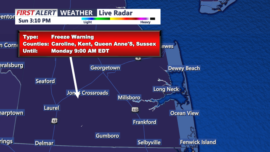

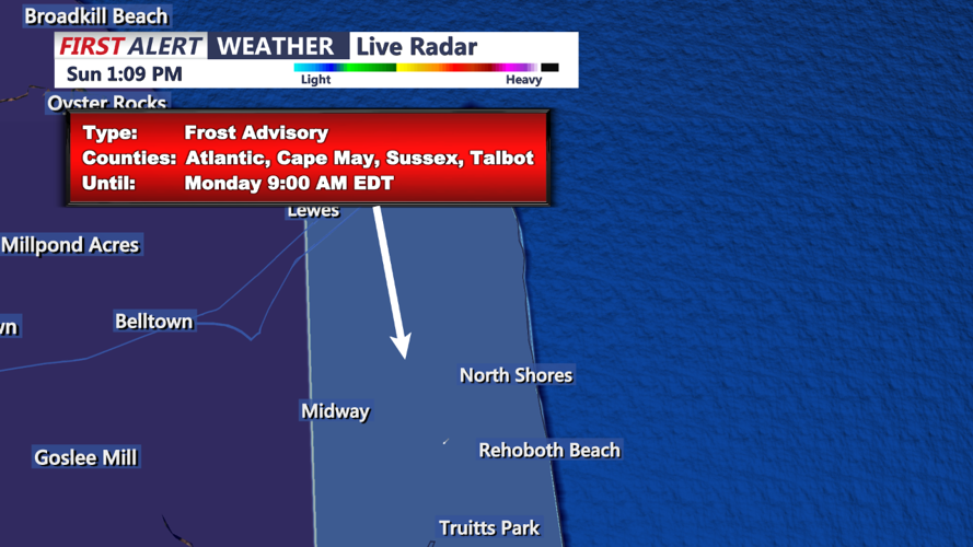

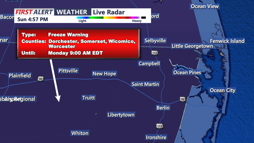


DELMARVA - A Freeze Warning and Frost Advisory are in effect across the Delmarva region tonight as high pressure builds overhead, bringing clear skies and calm winds that will allow temperatures to plummet. This will be the first freeze of the season for many inland areas. Temperatures are expected to dip into the upper 20s and low 30s for most of Delmarva, while urban areas and coastal locations will remain slightly warmer, in the mid to upper 30s. The Freeze Warning and Frost Advisory will remain active until early Monday morning.
Sunday Night Forecast
High pressure moving in from the west will bring ideal radiational cooling conditions overnight, with clear skies, light winds, and dry air. This setup will lead to significantly colder temperatures across the region. Inland areas are expected to experience their first hard freeze, with temperatures falling below 32°F. Coastal areas and regions near the Chesapeake Bay will stay a bit milder due to marine influences, where a Frost Advisory will be in place.
Monday: Sunny and Cool with Light Winds
As we move into Monday, the high-pressure system will start to shift offshore, introducing a light southerly breeze to the area. The day will remain dry and mostly sunny, with only a few high clouds passing overhead. Temperatures will be seasonably cool, reaching highs in the low to mid 60s across Delmarva.
Looking Ahead: Tranquil and Gradually Warming
From Monday night through Wednesday, high pressure will remain stationed just off the Mid-Atlantic coast, bringing calm and pleasant weather to Delmarva. Overnight lows on Monday will still be cool, mostly in the 30s to low 40s inland, with 50s along the coast. By Tuesday, warm air advection will bring slightly higher temperatures, with daytime highs climbing to the mid 60s to around 70°F. Tuesday night temperatures will stay milder, in the upper 40s to low 50s.
Clouds may briefly increase across northern areas Tuesday night as a weak disturbance passes to the north, but no precipitation is expected. The tranquil pattern is expected to continue into mid-week with mostly clear skies and gradually warming temperatures.
