



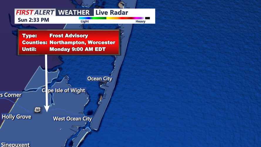
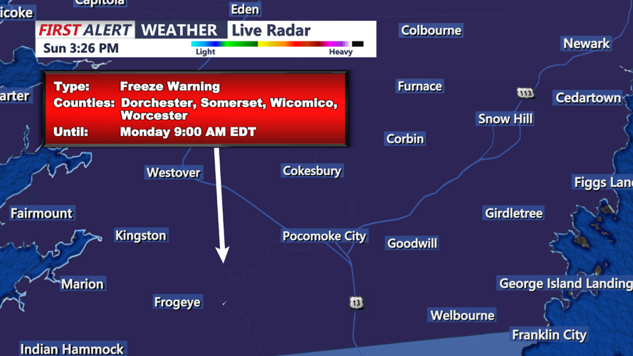
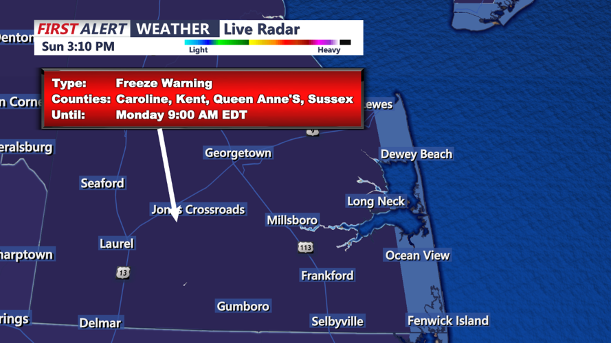

DELMARVA - The National Weather Service has issued a Freeze Warning for inland areas of Delmarva from 2 a.m. to 9 a.m. Monday morning. Temperatures are expected to drop into the upper 20s to low 30s, creating freezing conditions that could harm sensitive plants. Urban areas and coastal locations, however, will remain slightly warmer, with lows in the mid to upper 30s due to the urban heat island effect and marine influences along the coast and Chesapeake Bay. A Frost Advisory remains in place for these slightly warmer areas.
Monday Forecast: Sunny and Cool
After a cold start to the morning, high pressure will begin shifting offshore, bringing mostly sunny skies and a light southerly breeze to Delmarva. Temperatures will rise to seasonable levels, with afternoon highs reaching the low to mid 60s. A few high clouds may pass overhead, especially in northern areas, but otherwise, expect a dry and pleasant day.
Monday Night into Tuesday: Milder Overnight Temperatures
Monday night will still be cool but milder than the previous night, with lows ranging from the upper 30s to low 40s inland, and low 50s near the coast. High pressure offshore will continue to support clear skies, while warmer air begins to flow into the region.
Tuesday: Continued Warming with Pleasant Conditions
By Tuesday, a slight warming trend will set in, with high temperatures reaching the mid 60s to near 70°F across Delmarva. Skies will remain mostly clear, though a few clouds could filter into northern areas Tuesday night as a weak disturbance passes to the north. Overnight lows will stay milder, in the upper 40s to low 50s, as tranquil and dry weather continues.
Extended Outlook
This calm weather pattern is expected to persist through mid-week, with clear skies and gradually warming temperatures as we head into Wednesday.
