


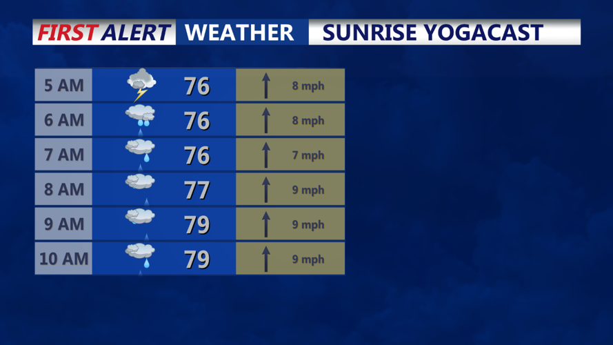


Tonight's Forecast:
- Temperatures: Mild, ranging from the upper 60s to mid-70s.
- Winds: Light and variable, mainly from the south as a frontal boundary passes through.
- Cloud Cover: Increasing from south to north as the night progresses.
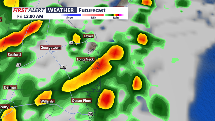
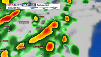
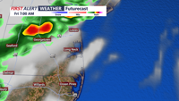
A stalled frontal boundary offshore will lift northward into the area overnight and through Friday morning. Bermuda high pressure will bring in tropical moisture along and south of this front. This setup, combined with a broad jet stream to our northeast, will lead to significant changes in the weather.
These conditions will likely result in a band of showers and thunderstorms developing along the lifting frontal boundary. The approaching upper low from the western Atlantic will contribute to falling heights aloft and increased coastal convergence, further enhancing the potential for convection.
The primary concern is the potential for heavy rainfall, particularly from 4 AM to 7 AM. While the risk of severe thunderstorms remains low, the heavy rain could lead to flooding, especially in areas under the active Flood Watch.
Residents are advised to stay informed and take necessary precautions for potential flooding, particularly during the early morning hours when the heaviest rainfall is expected; and tune to CoastTV for further updates!
