




DELMARVA -- High pressure is set to build across the Delmarva region tonight, extending from the Great Lakes down through the Northeast and into the Southeast United States. This high-pressure system will bring clear skies and cooler temperatures to the area, with gusty winds gradually subsiding by evening. Overnight lows will drop into the upper 30s across much of the peninsula, with warmer conditions in coastal areas, where temperatures are expected to remain in the mid to upper 40s. Although patchy frost may develop in some inland areas, it is unlikely to be widespread due to the ongoing dry conditions.
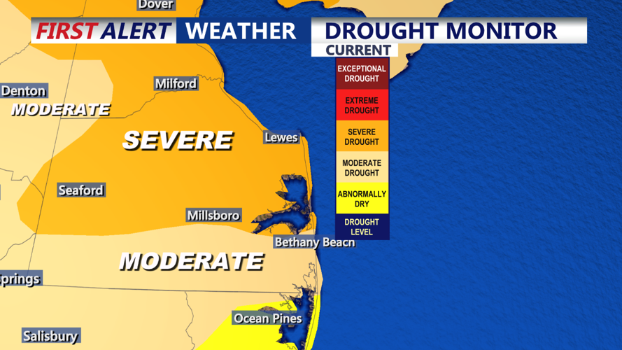
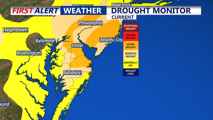
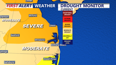
Friday will feature abundant sunshine and highs in the low to mid 60s. Winds will be lighter compared to today, though dry conditions will persist as Delmarva enters its 28th consecutive day without measurable rainfall. The region remains in a severe drought, with no significant rain expected in the near term. The threshold for measurable rainfall is 0.01 inches, and so far, the drought continues to intensify as we edge closer to setting new records for consecutive dry days.

A weak frontal system will move through Friday night, followed by a stronger cold front on Saturday. Unfortunately, neither system is expected to bring any significant precipitation, with only isolated, very light showers possible overnight Friday—likely not enough to measure. Highs on Saturday will climb into the mid to upper 60s at the coast, with some areas possibly reaching the low 70s inland. However, the dry air and breezy conditions will raise concerns for fire weather, particularly in areas where the humidity remains low.
Winds will gust between 20 to 25 mph on Saturday but are expected to diminish by evening as high pressure returns and clears out the skies. Lows Saturday night will drop into the upper 30s in inland areas, with coastal regions seeing lows in the low 40s. Sunday will be another sunny day, with highs in the upper 50s to low 60s and lighter winds.
High pressure will remain in control of the weather through much of next week, maintaining dry conditions across the region. Temperatures will stay near or slightly below average early in the week before a shift to southerly winds brings in warmer air by midweek. By Wednesday and Thursday, highs could reach the 70s, offering a brief warm-up, though no significant rain is on the horizon. We could in fact be talking near record highs for Halloween.
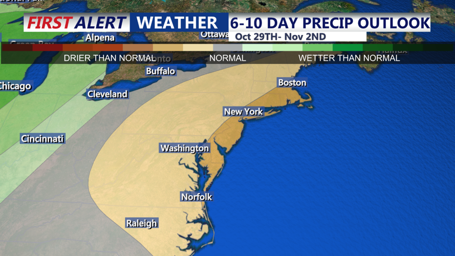
The ongoing drought continues to be a major concern for the Delmarva Peninsula, with no measurable rainfall in sight through at least the next 6 to 10 days. Residents are urged to stay vigilant about fire safety, given the combination of dry air, gusty winds, and low humidity.

