


DELMARVA - We'll see some gradual warming this afternoon with some peeks of sunshine. Highs will be in the mid to upper 70s, with cooler 60s and 70s at the coast.

A warm front moving through overnight will trigger showers and possible thunderstorms. It remains mild and muggy with temperatures in the 60s to around 70.

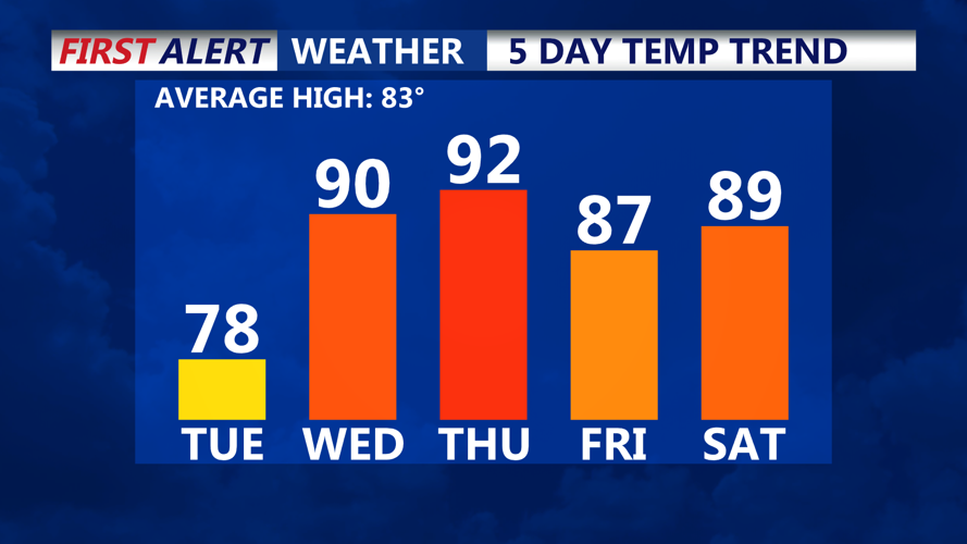
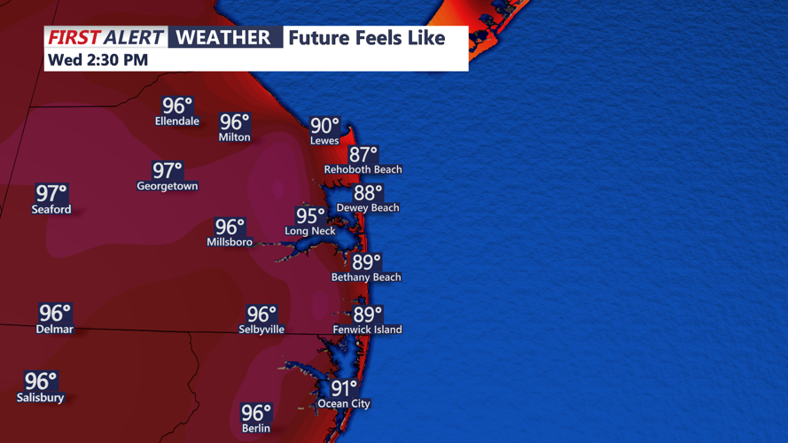
By Wednesday, the warm front will be north of the area, ushering in a surge of very warm and humid air from the south. High temperatures are forecast to climb into the upper 80s to near 90 inland, with 70s and 80s at the coast. Feels like temperatures will be in the mid 90s. Take it slow in the heat. Several upper-level disturbances will bring the potential for scattered showers and thunderstorms throughout the day, taking the edge off the heat a little bit.

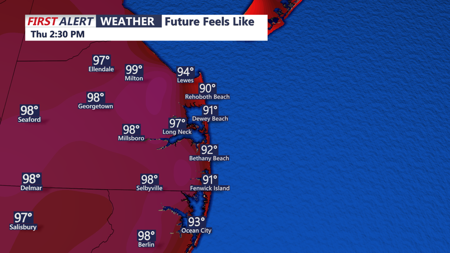
Thursday will mark the peak of the heat and humidity as a Bermuda high anchors offshore. Highs are expected to push into the upper 80s and low 90s, with dew points in the low 70s creating heat index values in the mid to upper 90s. Heat Advisories may be needed depending on how oppressive conditions become.

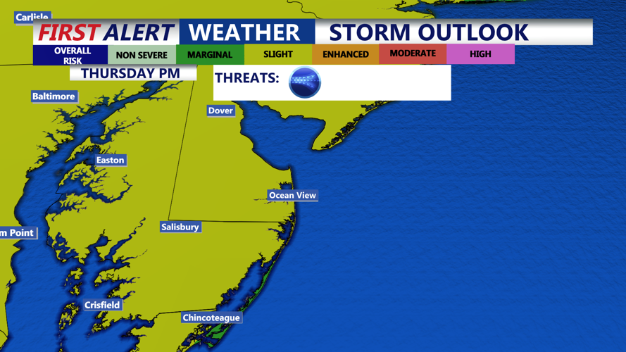
A strong cold front is expected to move through late Thursday, bringing the threat of afternoon and evening thunderstorms. Some storms could be severe, with the Storm Prediction Center placing our region under a slight risk for severe weather. The biggest risk appears to be damaging winds.
Cooler and more comfortable air moves in by Friday as high pressure builds from the north and west. While a passing upper trough could spark a few showers in northern areas, much of Delmarva should remain dry with highs in the low to mid-80s and lower humidity.
Summer officially arrives Friday night at 10:42 pm, marking the longest day of the year. It will feel like summer heading into the weekend.
Sunny and pleasant weather is expected to continue into Saturday, with another potential cold front arriving Sunday. High temperatures will be in the 80s Saturday, then lower 90s Sunday. A bit cooler at the beaches.
As we look into the extend forecast, we could see our first heatwave of the summer season next week. A sustained period of highs in the mid 90s are expected early next week, along with muggy conditions, could make for dangerous heat at times.
