


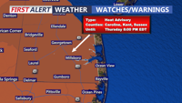


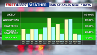

DELMARVA -- Thursday marks the final day of intense summer heat on Delmarva, for now. Temperatures will peak in the upper 80s to low 90s under partly cloudy skies, with oppressive heat indices ranging from 100 to 106 degrees. A Heat Advisory is in effect into this evening for everybody, excluding the immediate coast.

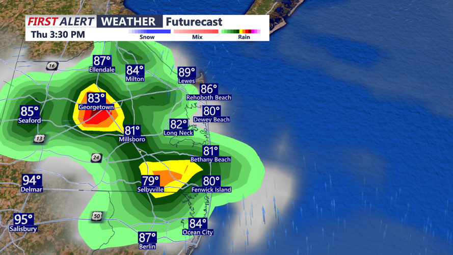
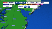
While record highs are not expected, the heat will remain hazardous. The region could see a few gusty thunderstorms this afternoon into early evening. While the overall severe threat is low, any storms that develop could bring torrential rain, damaging wind gusts, and possibly some hail.

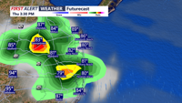
A backdoor cold front will slip through the region late this afternoon and evening, pushing southwestward by nightfall. The frontal passage will trigger an increase in cloud cover and may also spark scattered showers and thunderstorms during the evening. Temperatures will begin to cool late this afternoon and evening. Expect 70s and 80s this evening as showers and storms start to wind down.

Overnight remains mostly cloudy with temperatures remaining mild, with lows in the low to mid 70s.
Friday will bring much needed relief from the heat. With the front settled to the south and high pressure building in from the Canadian Maritimes, an easterly wind will usher in cooler, cloudier conditions. Daytime highs will fall into the upper 70s to low 80s, a welcome change after days of extreme heat. However, it will still be muggy, with dew points in the 70s, moisture overrunning the front and weak upper-level disturbances may lead to scattered showers and isolated storms into Friday evening.
A few showers are possible Friday night, otherwise mostly cloudy with lows in the low to mid 70s.
The unsettled pattern continues into the weekend. On Saturday, the front will lift northward again and stall near the region, while another system approaches from the northwest. These features will combine with upper-level disturbances to produce increasing chances of showers and thunderstorms later in the day and into Saturday night. Despite the storm chances, temperatures will climb back to near or above normal for late June. Temperatures on Saturday will range from the upper 80s to around 90.

Looking ahead to Sunday through Tuesday, the stalled boundary is expected to linger across the region, supporting continued chances for showers and thunderstorms through early next week. On Tuesday, a more robust cold front will sweep through the area, bringing yet another round of rain and storms before drier conditions begin to return by Wednesday.
Temperatures throughout the extended period will remain near or slightly above average, in the upper 80s and low 90s, keeping the summer heat close by even as clouds and rainfall provide temporary relief.