



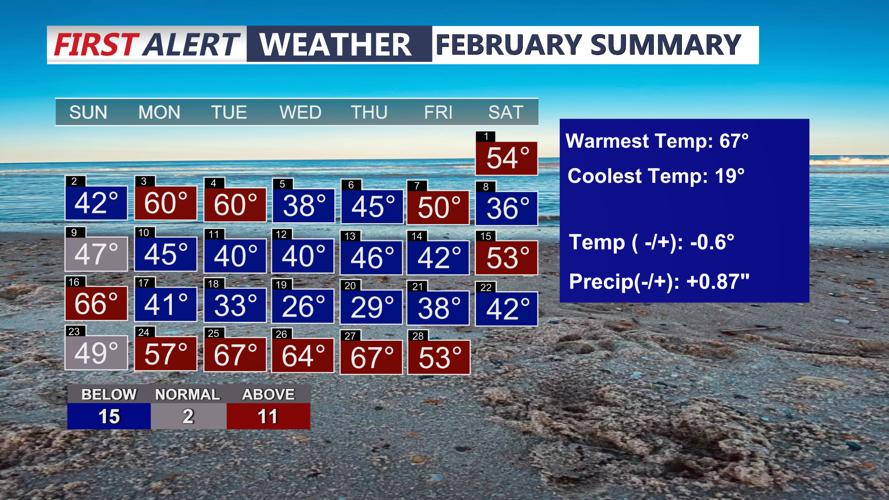
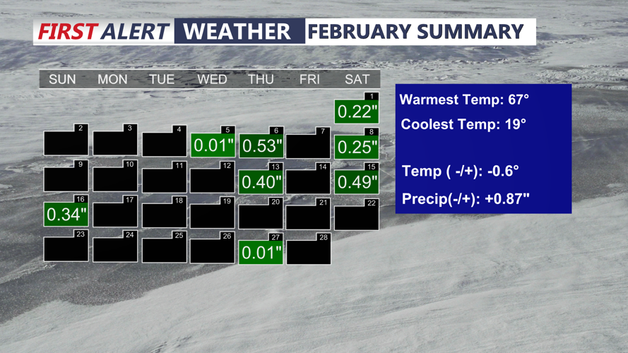

DELMARVA -- February ended quite mild on Delmarva with nearly a weeks worth of above average temperatures. We end the month slightly below average and we saw above average precipitation for the month, but not by much. We had a few bouts of snow and rain.

We ended the month just slightly below average.

Ended the month +0.87 above average precipitation.
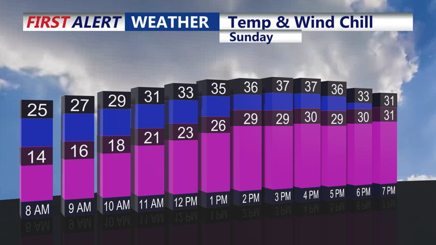
Delmarva remains under a wind advisory until 9 p.m. Saturday for Kent and Sussex counties in Delaware, along with Caroline and Talbot counties in Maryland, as gusts of 40 to 50 mph continue. Winds will diminish somewhat overnight but remain breezy. Meanwhile, temperatures will drop sharply, falling through the 40s and into the 30s before reaching the low 20s by early Sunday. Wind chills will make it feel even colder, ranging from 11 to 20 degrees.

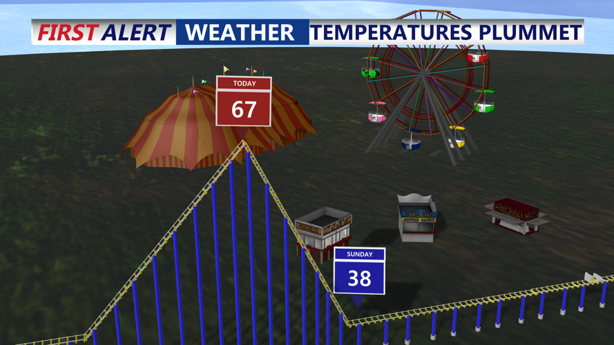
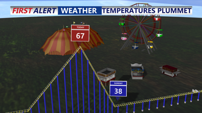
Temperatures crashing as arctic air sticks around through Monday.
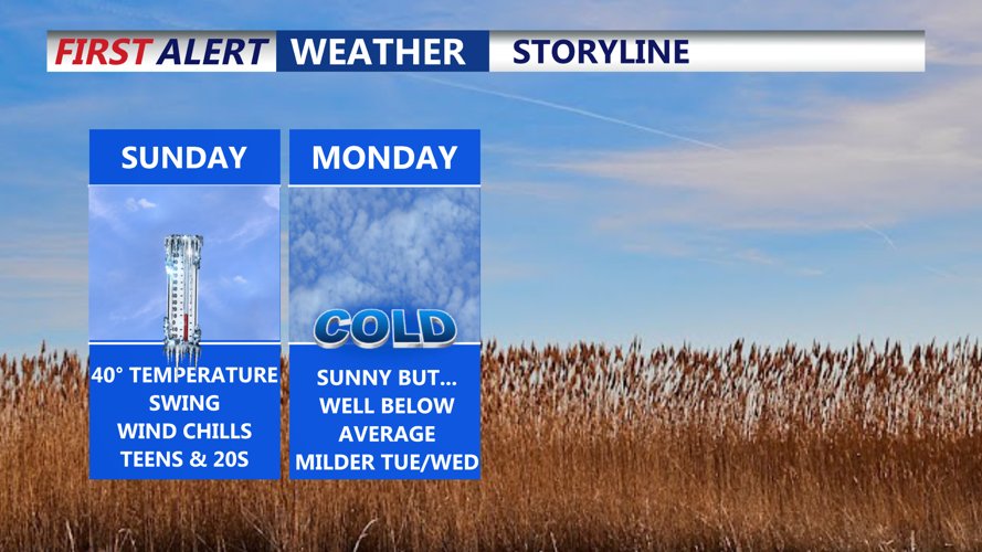
Sunday will be a frigid day across the region as arctic air settles in. Highs will only reach the mid-to-upper 30s, but persistent winds will keep wind chills in the teens and 20s for most of the day. High pressure moving in from the west will provide mostly sunny skies but little relief from the cold.

Despite sunny skies it will feel like the teens and twenties most of the day.
Sunday night will be another bitterly cold one, with lows in the teens to low 20s. However, temperatures will slowly begin to moderate Monday as winds shift from the northwest to a more southerly direction. Highs will climb into the upper 30s to low 40s under mostly sunny skies.
By Monday night, high pressure will shift offshore, setting the stage for a warming trend. Lows will be in the 20s overnight, but by Tuesday, highs will surge back into the 50s as clouds increase.
A powerful storm system developing over the central U.S. early next week will bring significant weather impacts to Delmarva by midweek. This same system will be responsible for a potential tornado outbreak across the southern Tennessee River Valley. Rain showers could arrive as early as Tuesday night, but the main event is expected Wednesday afternoon and evening as a strong cold front moves through.
Widespread rain, gusty winds, and possibly severe weather are all on the table. While instability is uncertain, the strength of the system could be enough to produce damaging winds and heavy downpours.
Temperatures ahead of the front may surge into the 50s or even low 60s, which could further increase the risk of strong storms. The system will clear out late Wednesday night, but winds could remain strong into Thursday.
High pressure will bring a quieter day Friday with near-normal temperatures in the 40s to low 50s. However, another system could approach by next weekend, possibly bringing rain or even a wintry mix, though details remain uncertain.
