



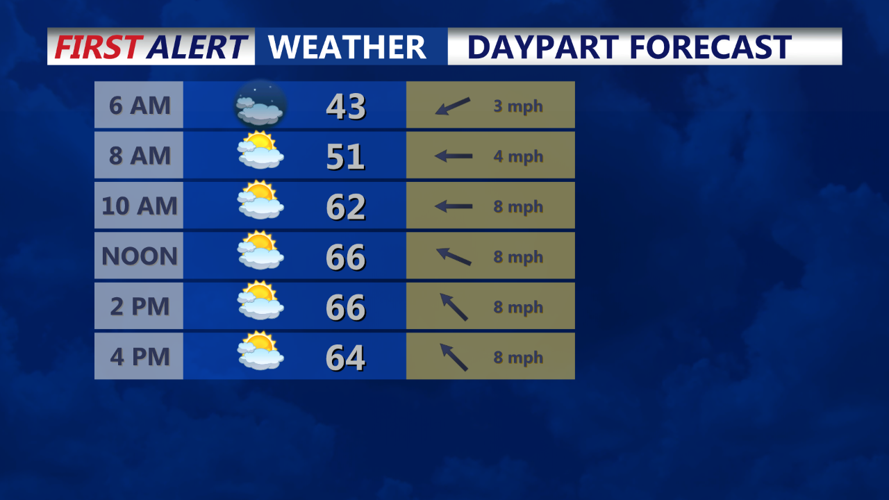

Late Sunday evening, Delmarva will remain under the influence of high pressure positioned over New England. This will keep skies mostly clear, although some upper-level clouds are expected to drift in as a shortwave disturbance passes to the north. Temperatures overnight will dip into the low to mid-30s inland, while coastal areas and areas closer to Philadelphia should stay in the low 40s due to a light onshore breeze.
By early Monday morning, temperatures will gradually rise as the high-pressure system shifts toward the Gulf of Maine, bringing a southerly wind flow to the region. This change in wind direction will start pulling in warmer air, setting the stage for a mild day across the Delmarva Peninsula.
By mid-morning, partly cloudy skies will prevail, with temperatures steadily climbing. The southerly flow will also bring in modest moisture, which will help keep relative humidity levels around 40-50%. This increase in humidity should reduce fire weather concerns that have been more pronounced in recent weeks.
In the afternoon, temperatures will peak in the low to mid-60s, making for a comfortable day overall. The combination of mild temperatures and dry conditions will provide a pleasant kickoff to the week, with no significant weather disruptions expected. High pressure will continue to dominate into Tuesday, keeping the region dry for the next day or so.
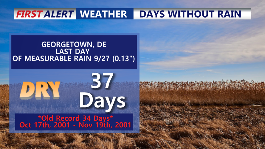
As for drought conditions, the National Weather Service's Mount Holly office notes that recent dry weather has contributed to abnormally dry conditions across parts of Delmarva. However, the upcoming southerly flow will bring a slight increase in moisture, although no significant rainfall is expected with this pattern. The next chance for meaningful precipitation could arrive midweek, as a cold front is forecast to move through the area late Wednesday into Thursday. This front may bring scattered showers, but it is unclear if it will significantly impact the drought status at this time.
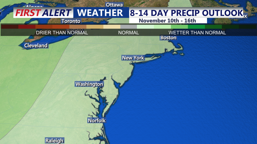
Looking further ahead, high pressure is expected to return by the end of the week, keeping the latter part of the week dry. Another disturbance could approach the region next weekend, potentially bringing a more substantial chance of rain.
