


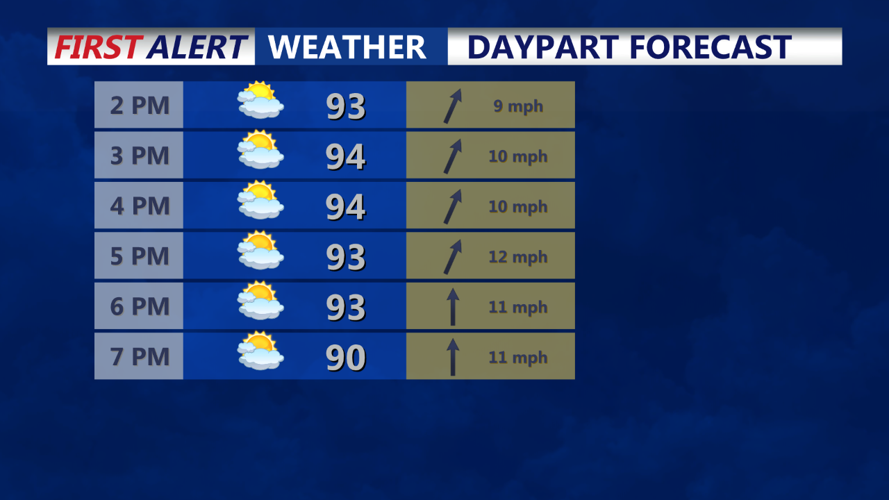


DELMARVA - Thunderstorms are expected to move into Delmarva by the evening, which could interfere with Independence Day celebrations. Although it won't be an all-day rain event, the timing is unfortunate for evening festivities.
The main limiting factor for storm development is the lack of strong weather systems to drive the storms. However, the combination of warm, moist air and minor surface triggers should be enough to spark thunderstorms. Our chances of precipitation are generally around 40% to 50%, with the highest likelihood in the evening.
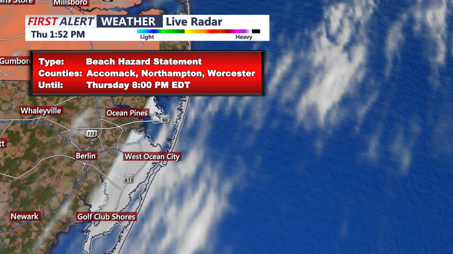
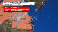
There is potential for some storms to become severe, with a few strong wind gusts possible. Additionally, these storms could produce very heavy rain, leading to localized flash flooding, especially in urban areas. Most of the area is at a marginal risk for excessive rain, meaning storms can create very heavy downpours in a short period.
As the evening progresses, storms may continue before diminishing overnight. It will remain very warm and muggy, with low temperatures mostly staying in the low to mid-70s. Some areas might see fog development overnight, especially where significant rainfall occurs. Additionally, lingering smoke from fireworks could enhance fog formation in the warm and humid conditions, despite some cloud cover.
Stay safe and plan accordingly if you have outdoor activities planned for the evening.
