


DELMARVA -- An unsettled weather pattern to begin this weekend before a refreshing shift in conditions early next week.
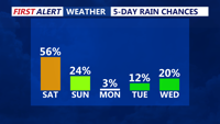
A high-pressure system will shift off the New England coast by Saturday, opening the door to a series of weak disturbances. These will bring scattered showers and storms Saturday afternoon and evening, with rainfall chances ranging between 40 and 60 percent. While instability will be limited, ample moisture may support localized downpours. The Weather Prediction Center has placed most of the region under a Marginal Risk for excessive rainfall.

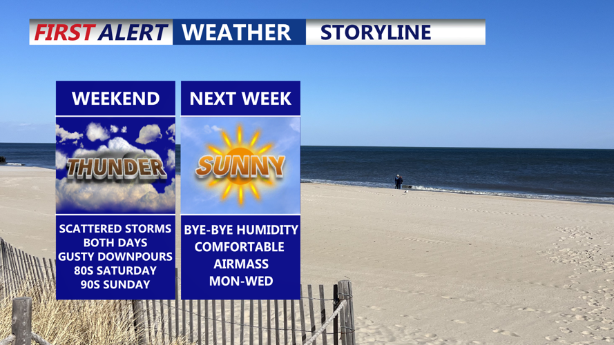
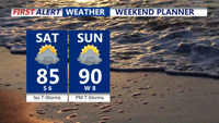
Scattered showers and storms Saturday, hotter with PM storms Sunday.
Highs on Saturday will rise into the low to mid 80s, with overnight lows staying mild in the low to mid 70s.

Comfortable drier air works into the area early next week.
Sunday will feature more dramatic changes as a warm front lifts through the region in the morning, followed by a cold front approaching by evening. Scattered thunderstorms are expected, and some storms may become strong due to increased instability and better atmospheric forcing. The severe weather risk remains low to moderate but will be monitored closely.
Temperatures will climb into the upper 80s and low 90s Sunday afternoon, but behind the front, cooler air will begin filtering in overnight. By Monday morning, lows will fall into the 50s and 60s across the peninsula.
Looking ahead, the new workweek will bring a notable break from the recent heat and humidity. Monday and Tuesday are forecast to be mostly sunny, dry and seasonably cool with highs just below average and dew points in the comfortable 50s.

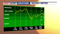
Dew points dropping into the 50s and 60s Monday and Tuesday.
High pressure will shift offshore by midweek, allowing a return of warmer air and scattered afternoon storms on Wednesday and Thursday. However, the latter half of the week is expected to be much less active than recent weeks.