



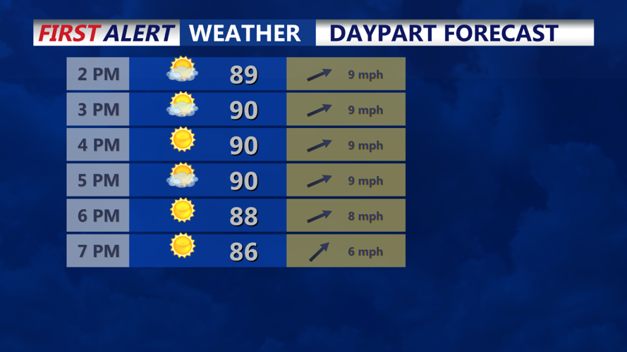
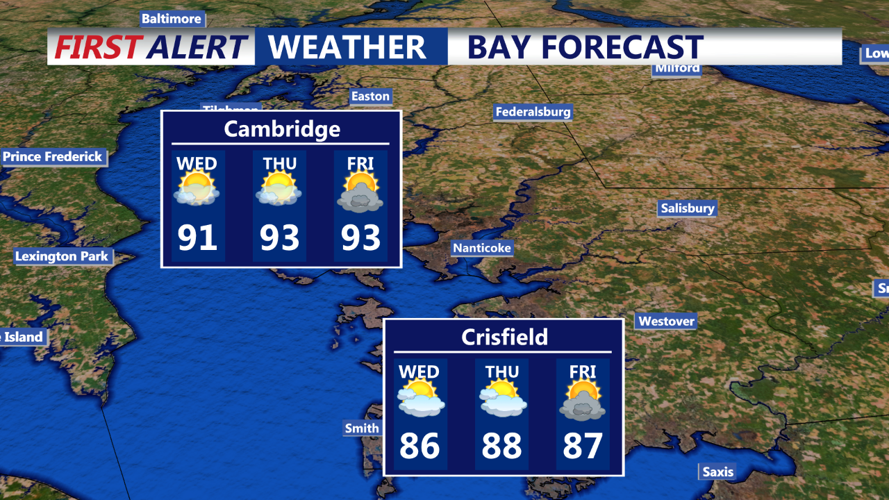

DELMARVA - A shortwave trough will slowly push through the Delmarva region on Wednesday, leading to broad upper-level troughing for much of the day. This, combined with a surface trough and steep low-level lapse rates, will result in scattered showers and thunderstorms. While shear will be limited, CAPE values could reach 1000-2000 J/kg, depending on sunshine. Afternoon temperatures will warm up, reaching the low 90s along the I-95 corridor and southeast, and mid-to-upper 80s for areas north and west.
Wednesday night will see a quick reduction in activity as the upper-level trough shifts east, bringing subsidence in its wake. However, temperatures will remain warm and sultry, with lows around 70 in much of the area.
Looking ahead to the long term, an upper ridge will build in from the west on Thursday, leading to drier and warmer conditions. Slight chances of precipitation will be confined to higher terrain, with most areas remaining dry. Temperatures will reach the low-to-mid 90s, and heat indices could approach 100 degrees. If this trend continues, a heat advisory might be necessary. A weak shortwave passing in the evening could bring a few widely scattered showers or storms, but coverage is expected to be limited. Overnight lows will stay in the low-to-mid 70s.
Stay tuned for updates on potential heat advisories and further weather developments.
