



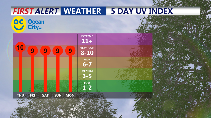

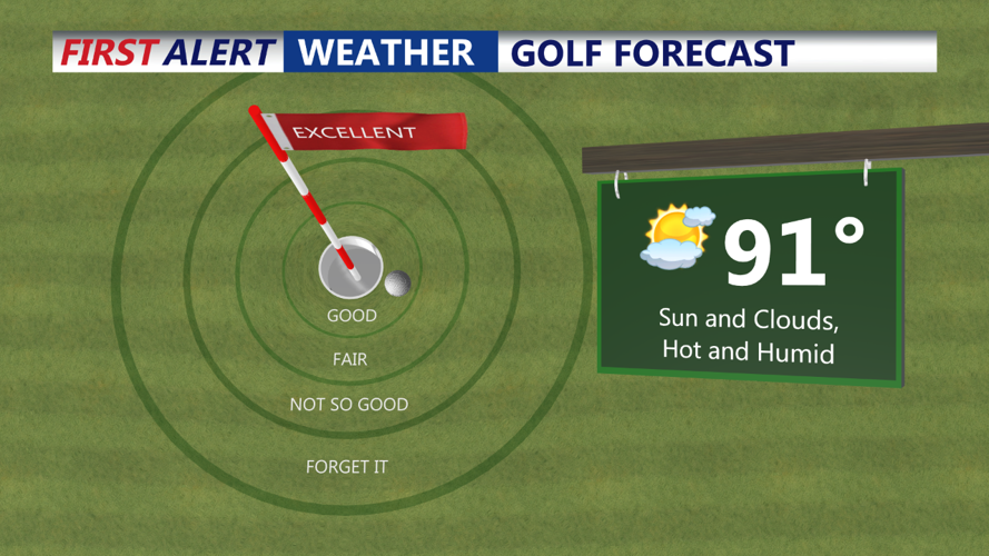

DELMARVA - Delmarva is bracing for another round of hot and humid weather on Thursday and Friday, with temperatures soaring and the heat index reaching potentially dangerous levels. The National Weather Service has issued Heat Advisories for areas expected to see the highest heat indices, ranging from 95 to 105 degrees. These advisories may be adjusted as new forecast data becomes available.
On Thursday, a weak ridge aloft will bring clearer skies and abundant sunshine, pushing afternoon highs into the mid-90s for most of the region. Higher elevations will see slightly cooler temperatures in the low-90s, while the Pocono Plateau will experience highs in the mid-80s. Despite high dew points, some mixing during the afternoon will help moderate heat index values slightly. Skies will be mostly to partly sunny, but a lingering surface trough could spark scattered thunderstorms in the afternoon, with a 20-35% chance of precipitation. Nighttime temperatures will remain warm, only dropping to the low to mid-70s.
Friday will bring a shortwave trough into the area, increasing the chances of organized showers and thunderstorms in the afternoon and evening. Precipitation probabilities range from 30-55%, with the highest likelihood in eastern Pennsylvania and into Delmarva. While there is enough instability (CAPE) to support strong to marginally severe thunderstorms, the lack of deep layer shear means that only a marginal chance of severe weather exists. The primary threat from any storms that do develop will be locally damaging winds from isolated downbursts. Some storm activity could persist into the overnight hours, maintaining a general 30% chance of precipitation. Overnight lows will again be mild and muggy, staying in the low to mid-70s.
Residents are advised to stay hydrated, avoid prolonged exposure to the heat, and remain alert for any severe weather warnings.
