


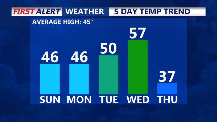


DELMARVA -- A mix of seasonal temperatures and mostly dry weather as high pressure dominates the region starting today. Highs will reach the mid to upper 40s under mostly cloudy skies, with westerly winds gusting to 25 mph adding a brisk feel to the day. Overnight, temperatures will drop into the low to mid-20s under partly to mostly cloudy skies.
A weak, decaying cold front will move through the region Sunday night, but with limited moisture, it is not expected to bring precipitation. By Monday, skies will clear for a mostly sunny day with highs again in the mid to upper 40s.
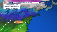
A brief warm-up will follow as a January thaw takes hold Tuesday and Wednesday. Temperatures will climb into the 50s on Tuesday, with highs peaking in the mid to upper 50s on Wednesday ahead of a stronger cold front. Skies will remain mostly sunny, offering a welcome reprieve for those weary of snow piles across the region.

Temperatures rise to the 50s for Delmarva Tuesday & Wednesday.
However, the warmth will be short-lived. A strong cold front passing through Wednesday night into Thursday morning will usher in much colder air. By Thursday, highs will struggle to reach the mid-30s, with overnight lows dipping into the teens and low 20s. The chill will persist into Friday, with highs remaining in the upper 30s, though temperatures are expected to rebound by about five degrees on Saturday as mid-level ridging builds back into the region.
This rollercoaster week of temperatures will keep Delmarva on their toes, offering a taste of spring warmth before winter returns in earnest by week’s end.
