


DELMARVA - Sunday starts out dry and warm, but changes are on the way through the day. Southerly winds will bring in higher humidity levels and hot temperatures in the low 90s.

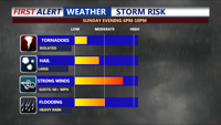
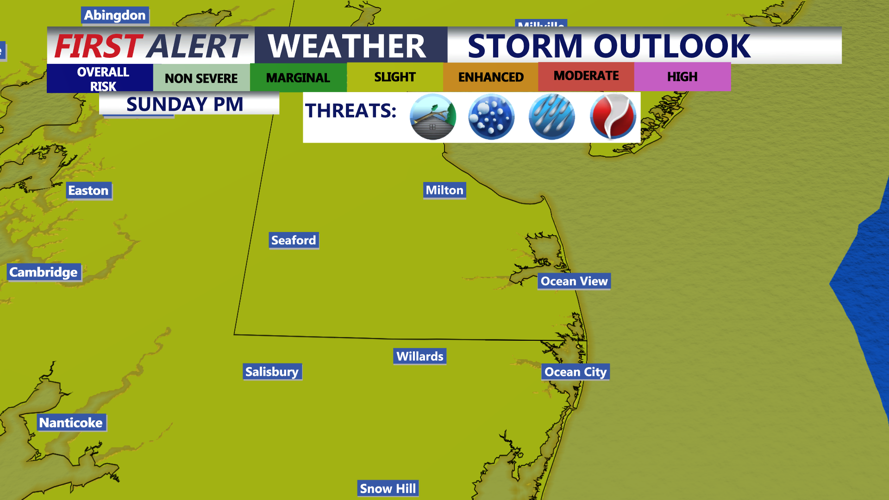
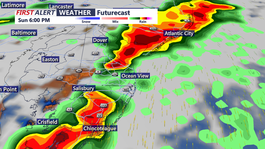
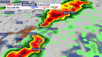
Another cold front will approach late Sunday into Sunday night, bringing renewed chances for scattered showers and thunderstorms. There is another slight risk, level 2 out of 5, for severe storms during that period. The severe weather threat will depend on how much moisture and instability can return before the front arrives.

A slower front would allow a greater storm threat, while a faster front would likely limit the risk. Damaging winds, hail, and even an isolated tornado could accompany the storms into Sunday evening.

Behind that front, a more seasonable air mass will settle over Delmarva through the middle of next week. Highs Monday through Wednesday are expected to range from the mid 70s to mid 80s, with overnight lows in the 60s. Lower humidity will make conditions feel much more pleasant, and rain chances look generally low during that stretch. The next best chance for rain comes beginning Wednesday and continuing the rest of the week, as temperatures warm from the 80s into the 90s by Thursday.
