



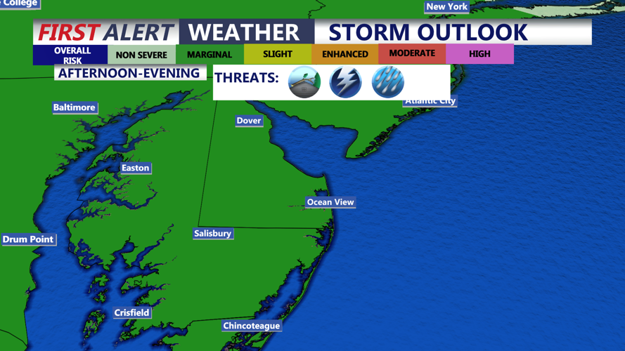


DELMARVA - Showers and thunderstorms are expected to become increasingly possible across Sussex County late tonight and continue at times through Wednesday night, with some storms capable of producing heavy rainfall and gusty winds.
A round of showers and thunderstorms could move into Delmarva early Wednesday as a weakening storm complex approaches from the west. The exact timing and coverage remain uncertain, but Sussex County is among the areas that could see heavier rainfall during the morning hours.
Any stronger thunderstorms could produce brief damaging wind gusts, frequent lightning and torrential downpours. Localized flash flooding also is possible where storms repeatedly move over the same areas or where drainage is poor.
Additional showers and thunderstorms may redevelop Wednesday afternoon and evening as a nearly stationary frontal boundary remains nearby. Storm coverage is expected to remain scattered, though locally heavy rain could occur with any stronger cells.
Temperatures will remain warm and humid. Overnight lows are expected to remain near 70 degrees, while Wednesday afternoon temperatures should reach the upper 80s to around 90. Humidity will remain noticeable but is expected to be somewhat lower than during recent days.
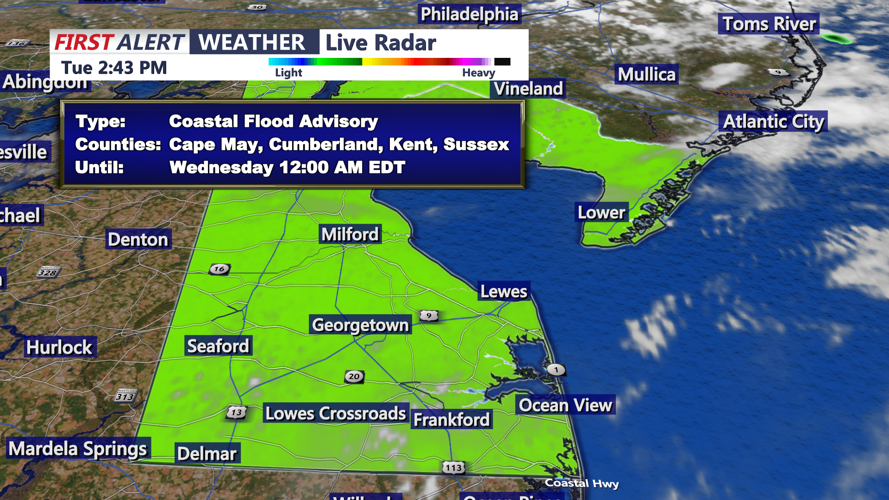
Along the Delaware coast and Delaware Bay, elevated astronomical tides also could produce spotty minor tidal flooding around the Wednesday evening high tide. Coastal and low-lying areas may experience brief flooding near the shoreline.
Showers and thunderstorms could continue into late Wednesday night before a cold front gradually moves through later in the week.
