





DELMARVA - Monday will kick off with high pressure positioned off the New England coast, directing a southerly flow into the Delmarva region. This change in wind direction will bring warmer air, allowing temperatures to rise into the low to mid-60s by the afternoon—several degrees warmer than Sunday. Along with the warmer temperatures, the southerly flow will increase moisture levels slightly, leading to relative humidity values around 40-50%. This moisture will help reduce fire weather concerns, which have been a factor in recent weeks due to persistently dry conditions.
Skies on Monday will feature a mix of sun and high clouds, making for a pleasant and mild start to the week. Overnight into Tuesday, skies are expected to turn mostly cloudy due to continued onshore flow, which will keep temperatures mild. Overnight lows will remain above average, dropping only to the upper 40s to low 50s across the area.
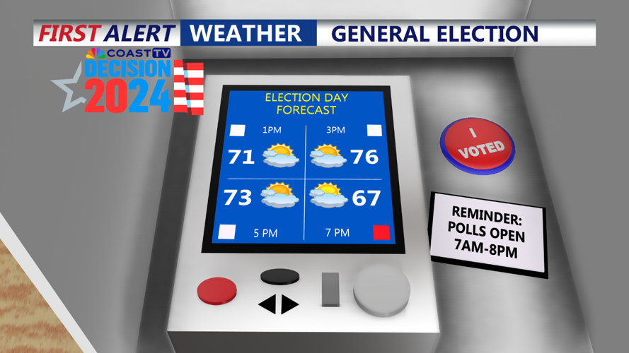
Tuesday will bring even warmer temperatures as a ridge builds back into the region, with highs reaching into the low 70s under partly to mostly sunny skies. This is unseasonably warm for early November, and some locations could even flirt with record highs by mid-afternoon. Winds will shift slightly to a more south-southwest direction as the ridge holds strong, pushing daytime temperatures well above normal and creating another comfortable day for outdoor activities.
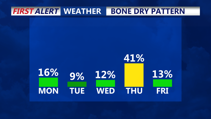
Looking ahead, a weak cold front is expected to approach from the northwest by Wednesday. However, this front is likely to lose strength as it nears Delmarva, and it remains uncertain how much moisture will accompany it. At this time, only a slight chance of scattered showers is forecast for late Wednesday, with the highest chances of precipitation expected in the northwestern parts of the region. Any rain that does develop will likely be light, as recent dry conditions have limited moisture availability in the atmosphere.
