



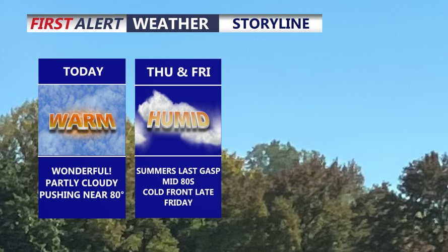
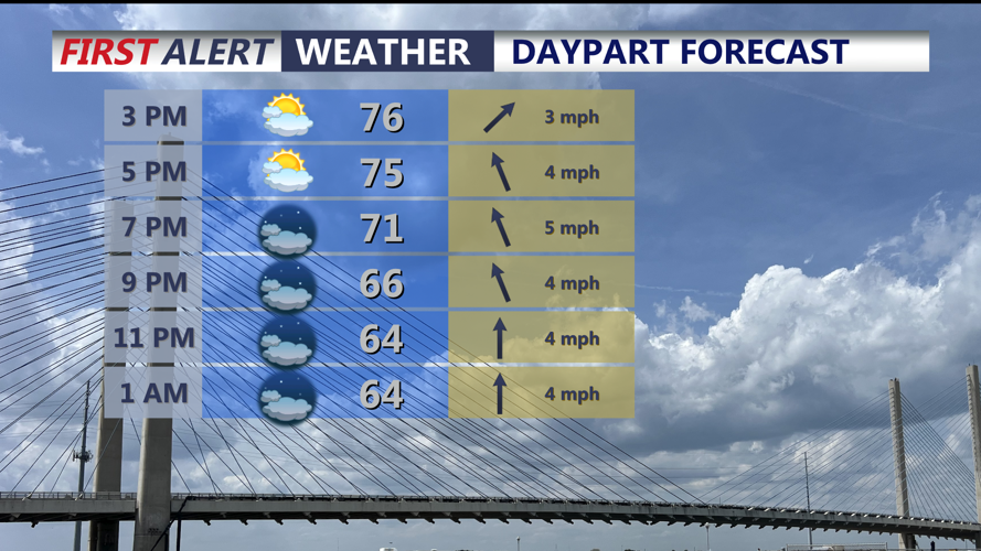

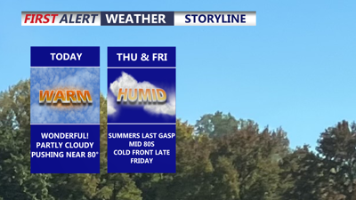
DELMARVA -- Our warming trend continues on the peninsula today! Partly cloudy skies with highs in the mid to upper 70s for most, with some interior portions of the peninsula around 80. Winds will be rather light out of the west 3 to 8 mph. Tonight partly to mostly cloudy skies with temperatures in the low 60s.

Expect partly cloudy skies and highs in the upper 70s to near 80.
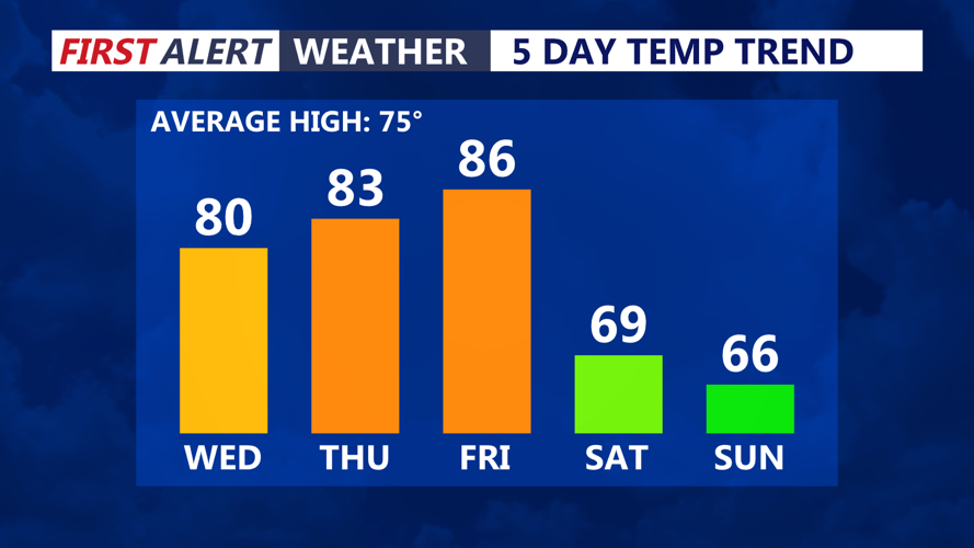
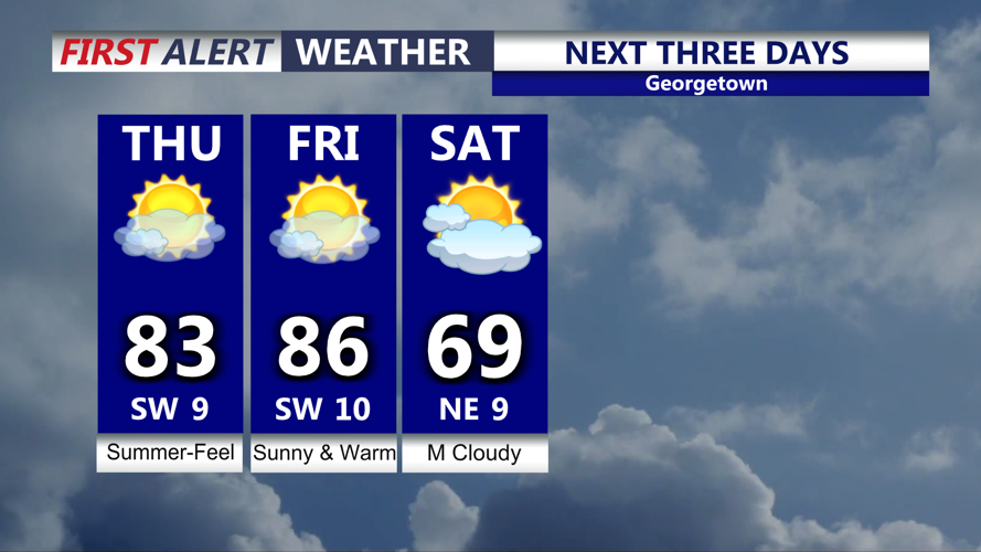
High pressure will slide offshore into Thursday as southwest winds return, that opens the door for even warmer temperatures as the humidity creeps up. Dew points will be in the upper 60s. Summer-like fell will be back despite the calendar flipping to October on Thursday. Highs in the low to mid 80s under mostly sunny skies.

Summer-like warmth returns as we round out the week.
Friday will feature partly cloudy skies and a summer-like day with highs in the mid to upper 80s. A cold front will approach at night that could spark of a shower, not expecting much rain or storms from the front.

Mostly sunny skies and summer-like feel into Friday, cold front pushes through late Friday night could spark a shower.
By the weekend we are much cooler, temperatures are back int the 60s, Saturday will feature mostly cloudy skies and northeast winds. The cold front will stall to our south. An area of low pressure will ride along the stalled front late Saturday into Sunday. The latest trend as been a track further south, keeping the best chance of showers Sunday on the lower shore. Highs Sunday will be in the mid 60s with cloudy skies and that chance of showers.
Monday will be in the upper 60s to low 70s under partly cloudy skies ahead of a blast of autumn Tuesday and Wednesday, Canadian high pressure builds in and highs will be in the 50s and 60s, with some chilly mornings Tuesday and especially Wednesday in the low to mid 40s.
