


DELMARVA - A mild and dry start to the weekend with slight shower chances. Then windy and turning colder Sunday into early next week.
Overnight expect variable clouds and temperatures in the 40s, with a few 30s possible if the clouds thin out enough.

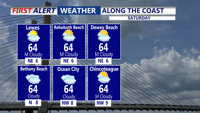
Saturday starts partly cloudy, though clouds will thicken through the day ahead of an approaching warm front. Highs will reach the upper 50s to lower 60s. Showers develop Saturday night as the warm front lifts through the peninsula, and a rumble of thunder can’t be ruled out. Rain amounts will stay light, generally under a quarter-inch, with most of the heavier activity remaining north of Delmarva. With warm air moving in, temperatures Saturday night may hold in the 50s.

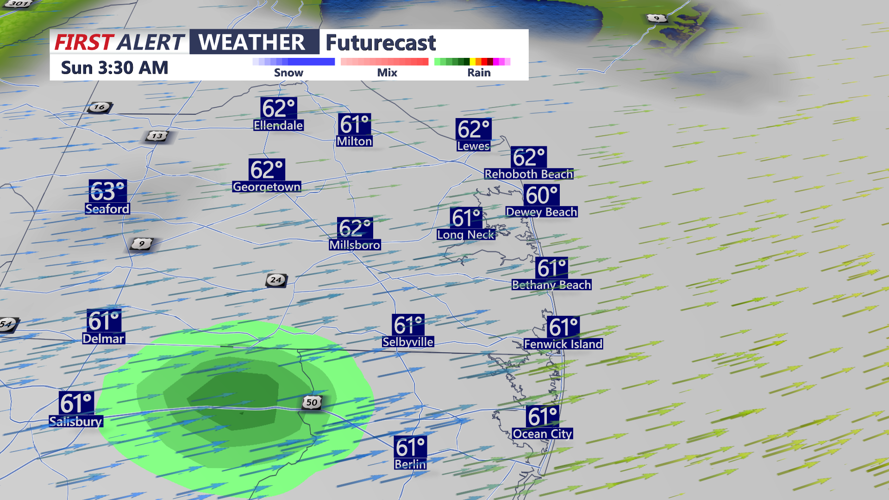
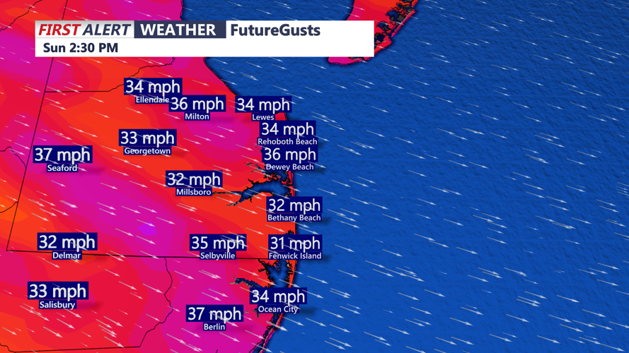
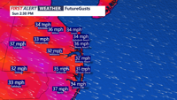
Sunday begins with scattered morning showers possible as a cold front approaches. Highs should occur by late morning or midday in the low to mid-60s before temperatures drop sharply during the afternoon. Once the front passes, skies clear from west to east and winds turn brisk out of the northwest, with gusts of 35 to 40 mph likely. Sunday night lows fall into the mid to upper 30s.

Early next week stays chilly. Monday will be blustery with highs only in the upper 40s to low 50s, feeling more like the 30s under partly cloudy skies. A weak system passes to the south on Tuesday, bringing widespread clouds and a few light showers and highs near 50.

High pressure builds in through mid-week, keeping Wednesday and Thursday dry but partly cloudy. Temperatures remain below average with highs in the 40s and 50s with overnight lows dipping into the 30s, with some 40s at the coast.
