





Showers and thunderstorms are expected to develop across Delmarva today, with damaging wind gusts and localized flash flooding the main concerns.
From
To

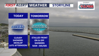
Delmarva’s record-breaking heatwave is over as a cold front stalls nearby, bringing cloudy, breezy and unsettled weather through Memorial Day. Periods of rain, cooler temperatures and elevated rip current risks are expected, though the rainfall will be beneficial amid ongoing severe drought conditions.

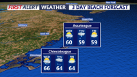
A limited fire weather risk continues into Tuesday evening for inland Sussex County before showers arrive Wednesday with little severe weather threat.

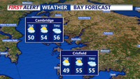
A chilly Tuesday starts quiet along the Sussex County coast before a weak system brings light rain by evening.

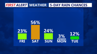
Following brief relief on Friday, unsettled weather returns through early Sunday with multiple chances for showers and isolated storms.

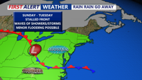
Unsettled conditions continue Sunday afternoon with continued clouds, cool temperatures, and scattered showers. A stalled front will keep the region damp through Tuesday before a warm front ushers in summerlike conditions midweek. Thursday brings a risk of severe storms followed by improving weather for the weekend.

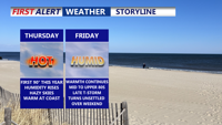
A shift from high pressure to a slow-moving low will bring increasing chances of showers and thunderstorms to Sussex County from late Wednesday night through late Friday night, with locally heavy rainfall possible.

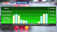
Sussex County will experience scattered showers, thunderstorms, and rising temperatures through Saturday, with the potential for gusty winds and heavy downpours.

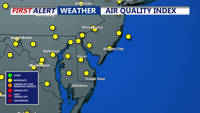
A brief period of dry, warm weather will give way to showers and a cold front moving through Sussex County late Friday, with elevated allergy levels and moderate air quality concerns persisting.

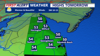
Sussex County and Delmarva beaches brace for gusty winds Wednesday as a cold front sweeps through, followed by another system bringing rain and potential wintry precipitation later in the week.