




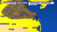
A mostly dry cold front Friday night will give way to cooler, drier and breezy conditions Saturday in Sussex County, increasing the risk of rapid fire spread.
From
To

Rain and drizzle hang on early Friday, then taper as a mild, mostly cloudy pattern carries into early Saturday.

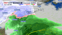
Light snow is expected to arrive late Friday in Sussex County, with minor accumulation possible before tapering to scattered snow showers or a brief squall early Saturday as colder air moves in.

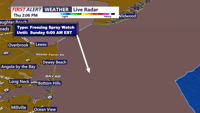
Sussex County is expected to stay mostly calm through Friday evening, with light snow developing late and a much more dangerous wind-and-cold outbreak slated for the weekend.

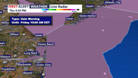
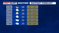
Bright skies and chilly air continue Friday, but clouds thicken Friday night as a chance of light rain or snow arrives early Saturday morning.

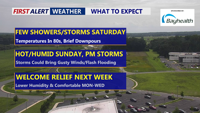
Spotty showers and a low threat for thunderstorms are forecast from late Friday into Saturday in Sussex County, with increasing rain chances and high humidity through the weekend.

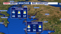
A meandering coastal low will bring chilly rain and the first hints of snow to parts of the region on Friday, with precipitation tapering off by Saturday morning and breezy conditions persisting into the weekend.

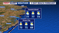
Mostly dry through Saturday with a slight chance of rain Saturday night into Sunday.

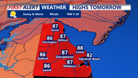
Clear skies on Friday night will provide ideal conditions for viewing the Perseid meteor shower, followed by a warm and sunny Saturday across Delmarva.
A stalled frontal boundary near the I-95 corridor will influence weather conditions on the Delmarva Peninsula over the short term, bringing periods of rain and potential flash flooding.