


DELMARVA - High pressure currently situated over New York will continue to provide generally quiet conditions for Sussex County through Friday. However, changes are on the way as a weak disturbance approaches from the west and a warm front gradually lifts northward through the region.
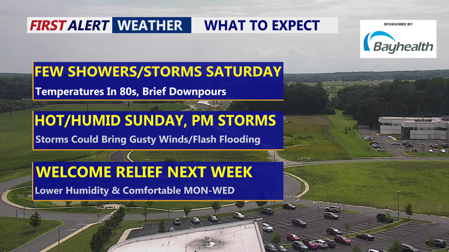
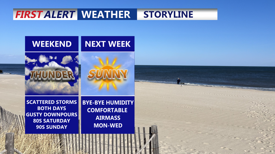
By late Friday afternoon and into the evening, scattered showers and isolated thunderstorms may develop across the Delmarva Peninsula, including Sussex County. Atmospheric instability remains limited, so the risk of severe storms is low. The Storm Prediction Center (SPC) places the region in its General Thunderstorm category, meaning any storms will likely remain non-severe.
Overnight, dewpoints will remain elevated—mostly in the 60s to near 70—keeping conditions muggy. Temperatures are expected to fall into the 60s and low 70s under mostly cloudy skies, with light and variable winds.
Rain chances will increase into Saturday as high pressure shifts offshore and moisture builds across the area. Forecasters expect precipitation probabilities to range between 30 to 60 percent across Sussex County. Thunderstorms are again possible, though they are not expected to reach severe levels. The Weather Prediction Center (WPC) has placed the region in a Marginal Risk for excessive rainfall, meaning isolated downpours could lead to minor flooding in vulnerable areas.
Despite climbing dewpoints, temperatures on Saturday are forecast to remain similar to Friday due to extensive cloud cover, with highs likely in the low to mid 80s. Winds will remain out of the southeast at around 10 mph or less.
Conditions remain unsettled into Saturday night, with scattered showers continuing. A more organized cold front is expected to sweep through the region on Sunday, ushering in cooler, drier air and setting the stage for pleasant weather into early next week.
