



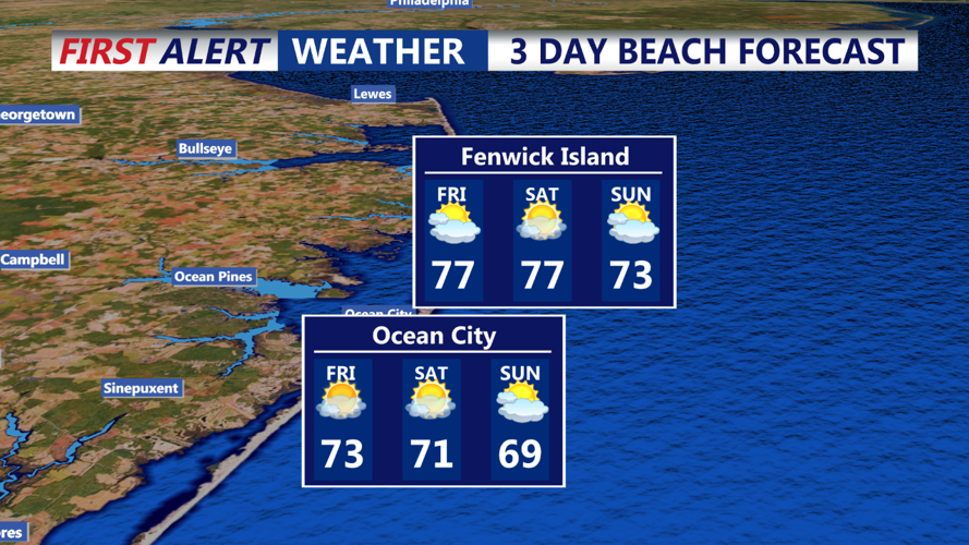
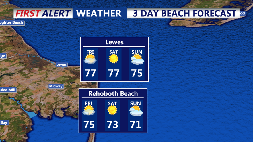

DELMARVA - Friday will bring slightly cooler temperatures compared to today, with highs ranging from the low 70s to low 80s. While the day will start off dry, there's a slight chance of isolated showers developing in the afternoon, particularly in the eastern parts of the region. However, the likelihood of rain remains low, and most areas will continue to experience dry conditions.
As we move into Friday night and through Saturday, an area of low pressure offshore will keep the region under the influence of high pressure nosing down from eastern Canada. This setup will lead to a continuation of mostly dry weather, but by Saturday night, a weak disturbance will approach Delmarva. This disturbance, associated with a shortwave or vorticity impulse rather than a frontal passage, could bring a 20-30% chance of rain, especially late Saturday night into Sunday morning.
Looking ahead to Sunday and early next week, the disturbance will move out, allowing high pressure to briefly re-establish itself over the region. This will bring dry conditions back to Delmarva for Sunday and Monday. However, this dry spell may be short-lived as another weather system could impact the area by midweek. A messy frontal system, along with a potential secondary low pressure development, could bring much-needed rain to the area by Wednesday or Thursday. This would be a welcome relief, as many parts of Delmarva have experienced abnormally dry conditions over the past month.
Overall, expect a calm start to the weekend with a slight chance of rain late Saturday into Sunday, followed by another dry period before the potential for more significant rain midweek.
