




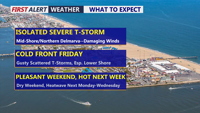
Humidity returns today with a risk of strong storms before a cold front brings more unsettled weather Friday, followed by a pleasant weekend and early September heat.
From
To

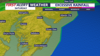
The heavy rain threat continues this afternoon and evening. Some isolated flash flooding is possible.

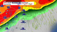
Sussex County faces rounds of thunderstorms Thursday, with damaging winds, flooding rain and an isolated tornado possible.


Damaging winds, torrential rain, isolated tornadoes and flash flooding are possible across Delmarva today and Wednesday.

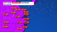
Strong to severe storms, damaging wind gusts, minor bay flooding and rough marine conditions are expected from late Monday evening into late Tuesday evening in Sussex County and along the Delaware and Maryland beaches.
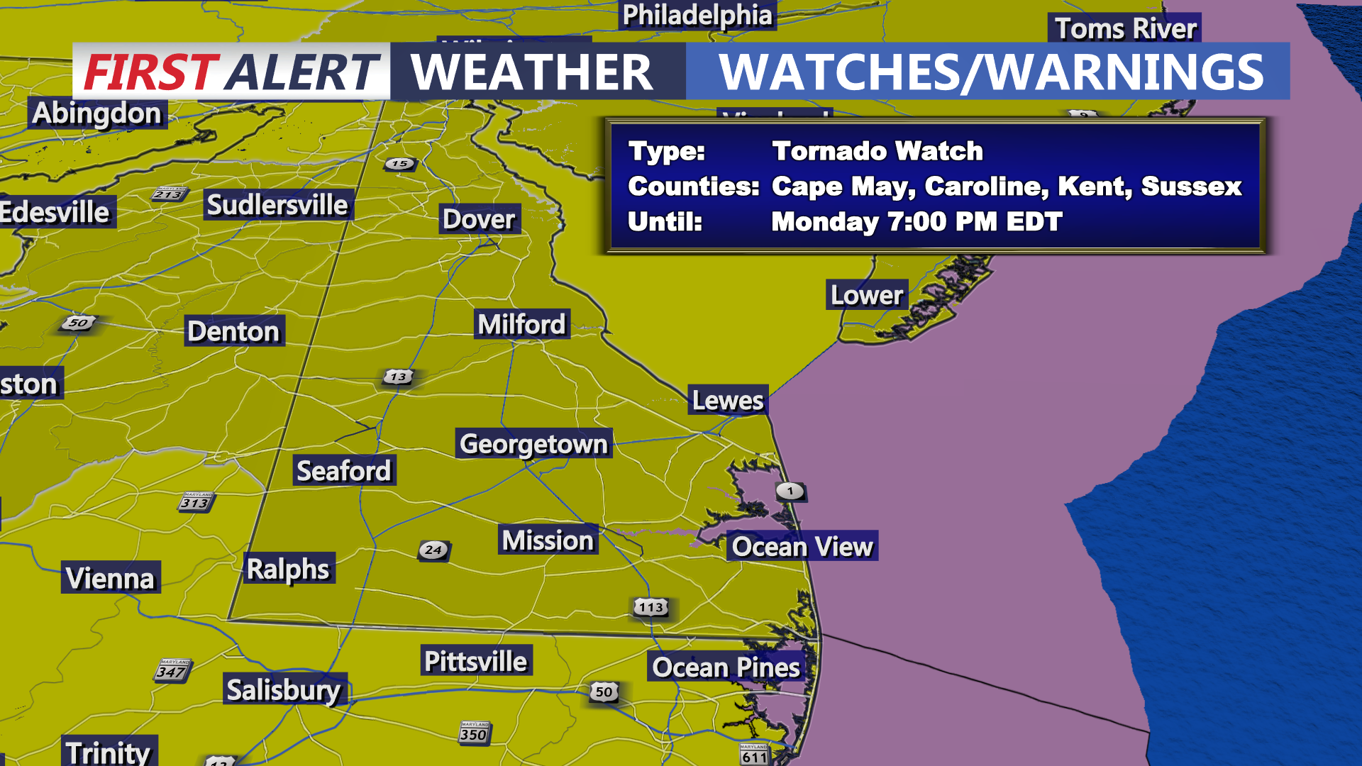
Today on Delmarva, a powerful storm system will bring the risk of strong to severe thunderstorms this afternoon into tonight, with damaging winds as the primary concern and an increasing threat for isolated tornadoes. Even outside of storms, southerly winds will gust from 35 to 45 mph, with some areas seeing gusts up to 50 mph. Heavy rainfall may lead to localized flash flooding, especially inland, while Sussex County faces minor coastal flooding along the back bays including Rehoboth Bay and Little Assawoman Bay. Conditions turn cooler and dry Tuesday through Wednesday before temperatures gradually moderate later in the week, with the next chance for showers arriving Friday night into Saturday.

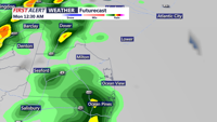
A cold front will bring showers, gusty winds, and a slight tornado risk overnight into early Monday before cooler, breezy conditions settle in across Sussex County.

A strong cold front will sweep through Delmarva late Saturday, bringing potential severe thunderstorms with damaging winds and hail. Following the front, Sunday through Tuesday will feature dry and breezy conditions with lower humidity and cooler temperatures. Unsettled weather may return midweek with a chance for rain by Wednesday.

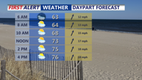
A strong cold front is expected to move through Delmarva late Monday, bringing the potential for strong to severe thunderstorms, heavy rainfall, and localized flooding. The worst of the weather is expected between 8 p.m. and 3 a.m. Tuesday. Cooler and drier conditions return Tuesday, but unsettled weather is likely to end the week.

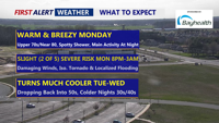
Delmarva can expect another unseasonably warm night Sunday before a powerful cold front pushes through late Monday. The system may bring thunderstorms, heavy rain, and the risk for severe weather. A brief return to calmer, cooler conditions follows Tuesday and Wednesday, but a more unsettled pattern takes shape for the end of the week.