



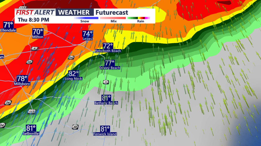
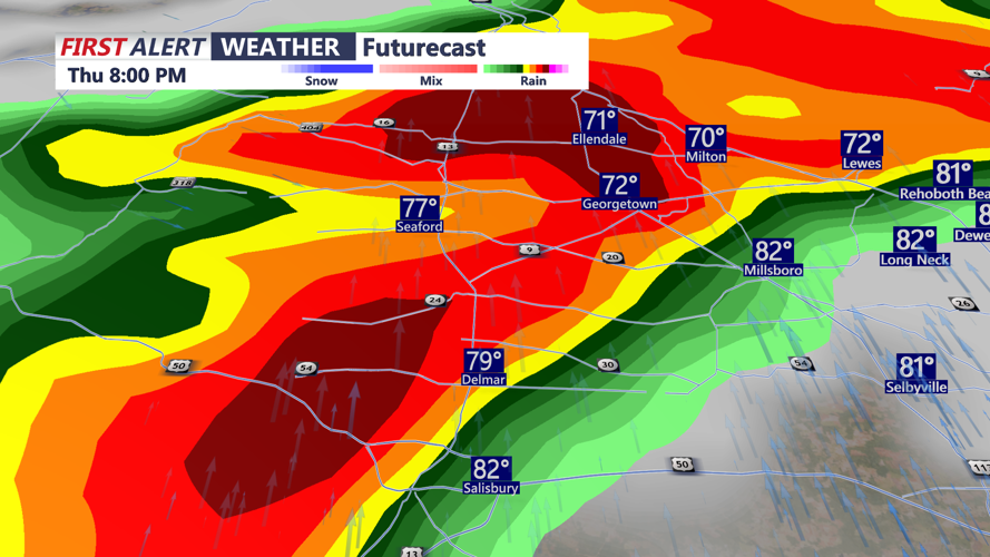


DELMARVA - Unsettled weather will increase late tonight before a strong cold front brings widespread showers and thunderstorms to Sussex County on Thursday, some of which could become severe or produce torrential rainfall.
A warm front is expected to move into the region overnight as the approaching cold front advances from the west. The setup will place the Delmarva Peninsula in an increasingly warm and humid air mass ahead of Thursday’s storms.
Multiple rounds of showers and thunderstorms are expected Thursday, particularly during the afternoon and evening. Sussex County is within an area where forecasters say conditions could support organized thunderstorms capable of producing locally damaging wind gusts.
An isolated tornado also cannot be ruled out, particularly near the warm front stretching across portions of the Delmarva Peninsula and southern New Jersey. Large hail is another possibility, although widespread cloud cover could limit instability and reduce the overall severity of the storms.
Heavy rainfall could pose an additional hazard. Atmospheric moisture is expected to reach unusually high levels, allowing thunderstorms to produce very efficient rainfall rates of 2 to 3 inches or more per hour in isolated locations.
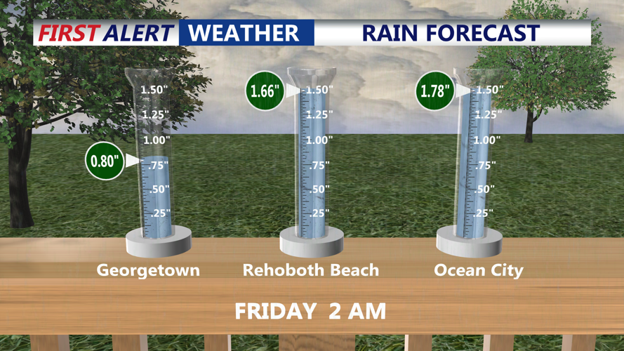
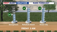
Widespread rainfall totals of 1 to 2 inches are possible across the broader region, with localized totals of 3 to 5 inches where storms repeatedly affect the same areas. While a Flash Flood Watch has been issued for northern Delaware and other portions of the region, Sussex County is not included in that watch based on the forecast information provided.
The threat of severe thunderstorms and flooding rain is expected to gradually diminish Thursday night as the front moves through. Unsettled weather, however, is expected to continue into the weekend with additional chances for showers and thunderstorms.
