






DELMARVA -- A potentially dangerous round of thunderstorms could affect the peninsula today, with the greatest risk for severe weather and flash flooding expected this afternoon and evening.

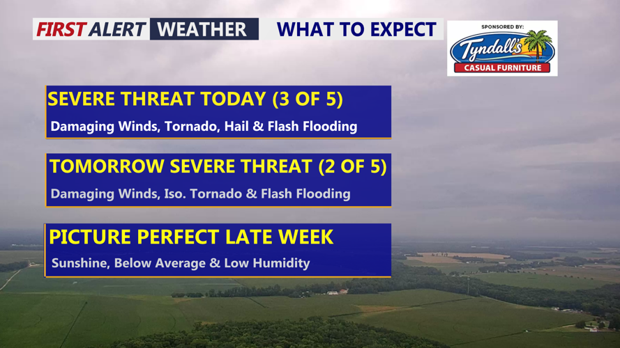
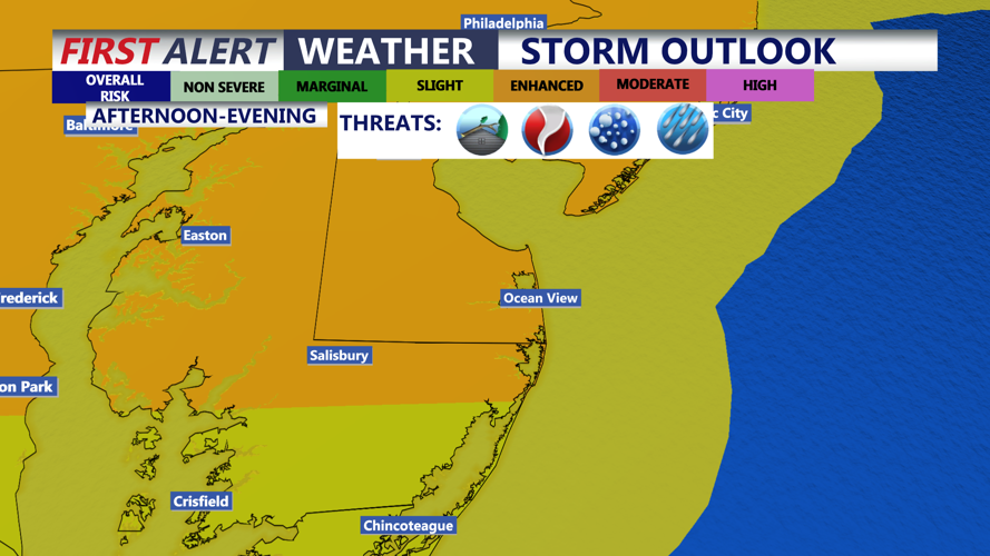
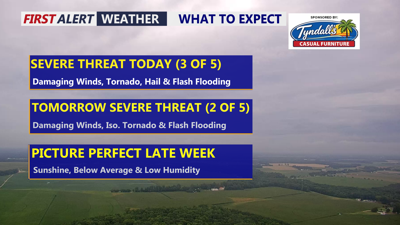
ENHANCED (3 of 5) risk for severe storms for most of the peninsula, to SLIGHT risk southern Delmarva, late this afternoon into the evening.
Delmarva is under an Enhanced Risk, Level 3 out of 5, for severe thunderstorms today as a warm front lifts northward and a cold front approaches from the west. Increasing humidity and periods of sunshine will help temperatures climb into the upper 80s to around 90 degrees, creating an increasingly unstable atmosphere.
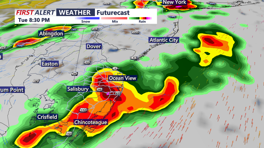
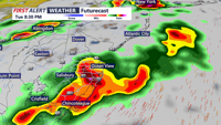
Scattered showers and thunderstorms develop this afternoon. Storms could initially form as individual cells before organizing into clusters or one or more lines during the afternoon and evening.

Clusters of strong to severe storms will push through the peninsula late this afternoon into the evening.
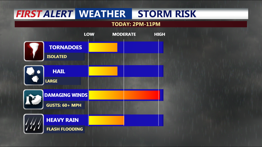
Damaging straight-line winds will be the primary hazard. Some storms could develop bowing segments capable of producing widespread or locally significant wind damage. Stronger storms may also produce large hail.

Damaging winds is the primary threat, can't rule out an isolated tornado, large hail and flash flooding.
An isolated tornado cannot be ruled out, particularly with any storm that develops near or interacts with the advancing warm front. The location and speed of that boundary will play an important role in determining which parts of Delmarva face the greatest tornado threat.
Heavy rainfall will be another major concern. Deep tropical moisture will surge northward, allowing thunderstorms to produce extremely high rainfall rates. The strongest storms could drop 1 to 3 inches of rain in an hour.
Some communities could receive total rainfall amounts of 2 to 4 inches, while nearby locations may receive considerably less. Repeated thunderstorms over the same areas could quickly overwhelm drainage systems and cause flash flooding, especially in cities, low-lying communities and locations with poor drainage.
Drivers should never attempt to cross a flooded road. Water may be deeper than it appears, and the roadway underneath may be damaged or washed away.
Thunderstorms could remain severe for part of tonight before gradually weakening. Temperatures fall into the low 70s with muggy conditions. However, competing storm outflows may cause activity to become disorganized and move over some areas repeatedly, prolonging the heavy-rain and flooding threat.
The cold front will slowly settle southward and eastward Wednesday, keeping Delmarva at risk for additional showers and thunderstorms. A Slight Risk, Level 2 out of 5, is in place for severe weather Wednesday.
The highest concentration of Wednesday’s storms may be across Delmarva as additional upper-level disturbances move through the region. Locally damaging wind gusts will again be the main threat, although an isolated tornado and additional flash flooding will remain possible.
Wednesday’s flooding risk is expected to be lower than today’s, but any storm could still produce torrential rain in a short period of time. Wednesday's high temperatures will be in the mid 80s.
Conditions should gradually improve once the front moves away later Wednesday. Drier and more comfortable weather is expected Thursday and Friday, with the quieter pattern continuing into the weekend. Low humidity with highs in the 70s and 80s.
Residents and visitors should remain weather aware, keep phones charged and have multiple ways to receive warnings. Download the COASTTV Weather App. Those attending outdoor events or spending time at Delmarva beaches should be prepared to quickly seek shelter inside a sturdy building if threatening weather approaches.
