





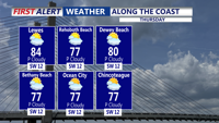
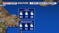
A beautiful Thursday is ahead across Delmarva with hazy sunshine, highs in the upper 80s to low 90s and a refreshing sea breeze developing at the beaches. A cold front will continue pushing south through Friday, opening the door to cooler and less humid weather for Saturday and the first half of Sunday. Showers and thunderstorms return to the forecast Sunday afternoon into Monday, while spotty minor tidal flooding is possible during Thursday evening’s high tide along portions of the Delaware coast and Delaware Bay.
From
To


Delmarva will enjoy a sunny and comfortable day today with highs near 70 as high pressure settles in. Breezy and milder conditions arrive tonight into Wednesday, with temperatures climbing into the 70s before a cold front brings showers and a few possible thunderstorms Wednesday night into Thursday morning. After the system moves away, much warmer air builds in for the weekend and early next week, with widespread 80s and a few inland spots possibly reaching 90 by Monday.


Delmarva will enjoy a pleasant Friday with partly cloudy skies, lighter northeast winds and cooler temperatures compared to Thursday. Temperatures will range from the low to mid 60s at the beaches to the 70s inland, with some lower shore communities nearing 80 degrees. A spotty shower is possible Friday evening into the overnight, but the bigger change arrives this weekend as low pressure brings widespread rain, chilly temperatures and breezy coastal conditions. Rainfall totals from Friday night through Sunday may reach half an inch to slightly over an inch inches across the area, providing beneficial rainfall despite the soggy weekend.

Sussex County will stay unusually warm Thursday into early Friday, with dry, breezy conditions increasing the risk of fire spread.

Scattered thunderstorms may brush Sussex County late Wednesday, followed by near-record warmth and elevated fire spread concerns through late Thursday.

A mostly dry cold front Friday night will give way to cooler, drier and breezy conditions Saturday in Sussex County, increasing the risk of rapid fire spread.

Sussex County faces a hard freeze early Wednesday, followed by another round of freeze and frost concerns Wednesday night into early Thursday.

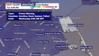
Dry air and easing winds will give way to a cold night in Sussex County, with freezing temperatures possible by daybreak Wednesday and another round of freeze and frost concerns developing by late Wednesday evening.

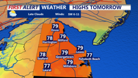
Patchy fog may brush parts of Sussex County late Tuesday night into early Wednesday, followed by unusually warm, more humid weather Wednesday and a growing chance of showers late in the day.

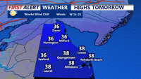
A cold late Monday evening gives way to a mostly sunny but still chilly Tuesday, with no precipitation expected.