



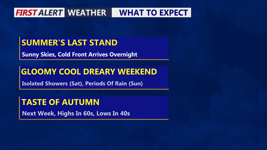

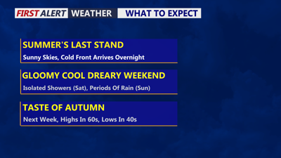
DELMARVA -- An absolutely beautiful Friday on the peninsula, summer's last stand! Partly cloudy skies and highs in the mid to upper 80s inland, beaches upper 70s to low 80s with southwest winds 10 to 15 mph. Heading out to football games this evening, a mild evening falling into the 70s with increasing clouds.
Tonight a cold front will approach the region, a few showers are possible late tonight into Saturday morning. Overnight lows in the low to mid 60s.

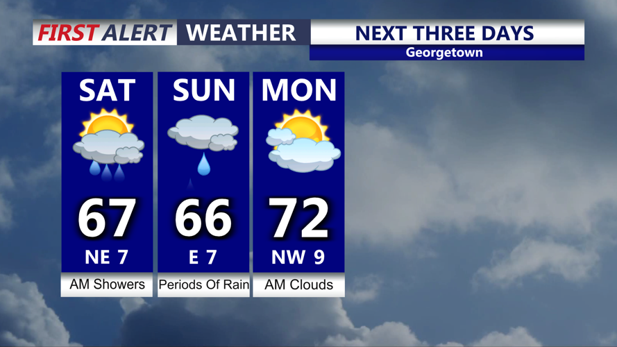
Showers possible Saturday, steadier rain Sunday and drier Monday.
The weekend will feature gloomy, cool and dreary conditions. Saturday won't be a washout but a few morning showers are possible. Clouds will dominate, temperatures in the upper 60s. Northeast winds 5 to 10 mph. The cold front will stall over the region, an area of low pressure develops late Saturday into Sunday spreading rain into the region.
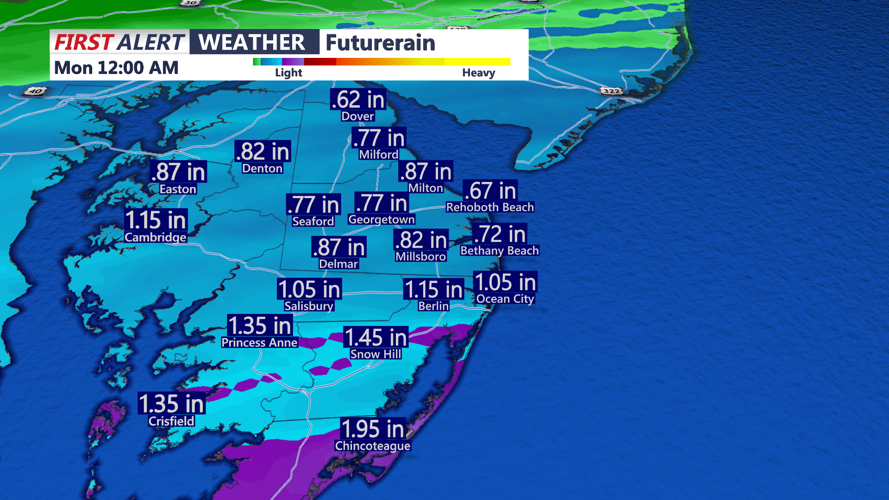
Sunday will be a rainy day with periods of rain that could be moderate and heavy at times. Highs will be in the mid 60s with a raw east wind. Rainfall from late Saturday night into Sunday night will be on the order of half an inch to an inch and half of rain, heaviest totals will be down through Worcester, Somerset and Accomack counties.

Rainfall totals Sunday into Sunday night will range half an inch to a over an inch, heaviest totals lower shore.
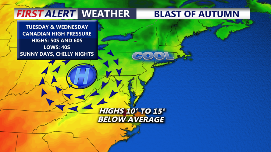
Drying out Monday with a few morning clouds and highs in the low 70s as sunshine develops through the afternoon. High pressure builds in next week and a taste of autumn arrives. Tuesday and Wednesday highs will be in the 50s and 60s with sunshine, chilly lows in the low to mid 40s Tuesday and especially Wednesday morning. Temperatures will moderate back into the 70s through late week and staying dry.

The coolest airmass so far this fall season arrives early next week.
