



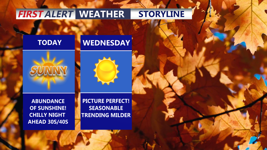
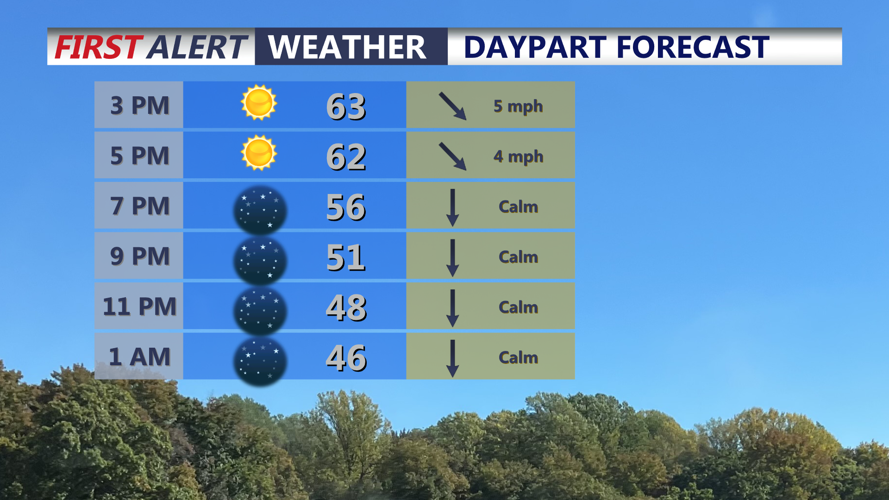

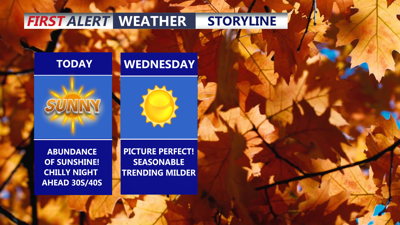
DELMARVA -- An abundance of sunshine on Delmarva today with highs in the low to mid 60s. High pressure holding firm and will continue to dominate our weather through late week. Winds will be out of the northwest 5 to 10 mph.

Wall to wall sunshine, starry skies through the evening and overnight.
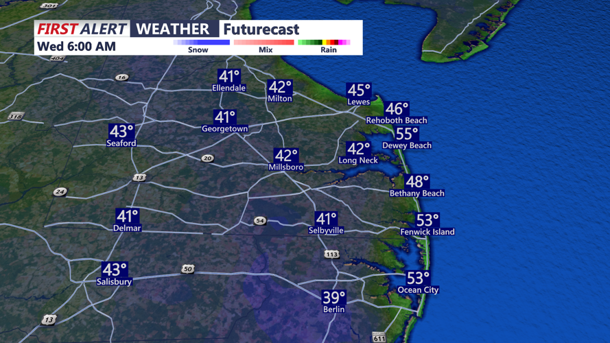
Tonight will feature a much chillier night, starry skies and temperatures dipping into the upper 30s to low 40s away from the beaches. At the coast upper 40s to low 50s. Not expecting widespread frost at this time. Some isolated patches are possible in our more notorious cooler spots.

A chillier night on tap, areas away from the coast getting into the upper 30s to low 40s, upper 40s to low 50s at the beaches.
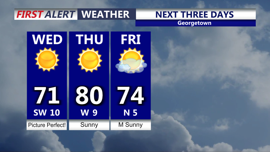
Wednesday will be a picture perfect day, highs in the upper 60s to low 70s with lot's of sunshine as high pressure pushes right over the region. Not as chilly Wednesday night falling into the low to mid 50s. Temperatures moderate into Thursday as high pressure shifts offshore and a southerly flow returns. We make a run at 80 degrees under sunny skies.

Sunny skies continue as a warming trend will be underway through Thursday.
Seasonable temperature Friday under mostly sunny skies, lower 70s. Will remain in the low 70s over the weekend that will feature more clouds than sun.
The National Hurricane Center is keeping an eye on an area of low pressure in the southern Gulf that could become the next tropical storm or perhaps the first hurricane of the season later this week. This would be Isaias. Models then take the storm/remnants north into our area by early next week. This is all depending on the track and intensity, but it's something will be keeping an eye on and would be our next threat of rain to the region.
